Transport Functions
Multimodal
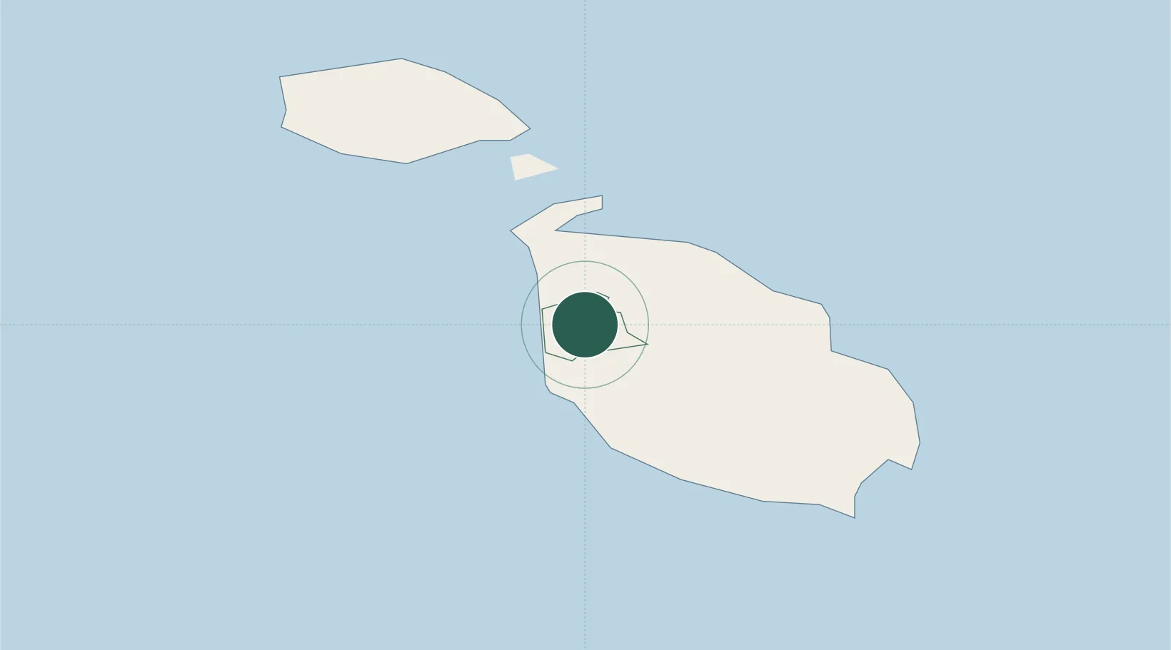
Hub Profile
Place type
Populated place
Region
L-Imġarr
Population
2,868
Time zone
Europe/Malta
Elevation
38 m
Location
Nearby Logistics Neighbours
Cities
- 1Saint Paul's Bay (San Pawl il-Bahar)2 km
- 2Attard7 km
- 3Balzan8 km
- 4Mriehel8 km
- 5Msida10 km
Ports
- 1Valletta Harbors14 km
- 2Marsaxlokk20 km
- 3Pozzallo99 km
- 4Gela128 km
- 5Licata136 km
Airports
- 1Malta International Airport14 km
- 2Xewkija Heliport15 km
- 3Comiso Airport122 km
- 4Lampedusa Airport165 km
- 5Sigonella Navy Air Base172 km
Trade Zones
DatabookThe Record of Consolidated Knowledge
Malta beyond logistics?