Transport Functions
Road
Multimodal
Hub Profile
Place type
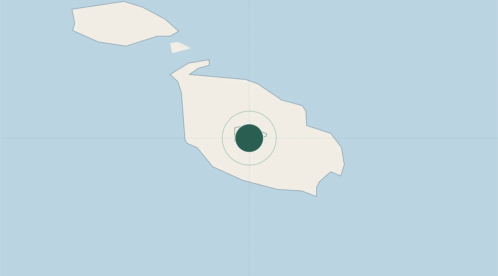
Regional capital
Region
Attard
Population
11,377
Time zone
Europe/Malta
Elevation
69 m
Location
Nearby Logistics Neighbours
Ports
- 1Valletta Harbors8 km
- 2Marsaxlokk13 km
- 3Pozzallo100 km
- 4Gela133 km
- 5Licata142 km
Airports
- 1Malta International Airport7 km
- 2Xewkija Heliport22 km
- 3Comiso Airport125 km
- 4Lampedusa Airport169 km
- 5Sigonella Navy Air Base174 km
Trade Zones
- 1Malta Freeport12 km
- 2Sicily Special Economic Zone Area187 km
- 3Zwara-Abu-Kemmash Free Trade Zone395 km
- 4Misurata Free Zone401 km
- 5Ben Guerdane Economic Free Zone403 km
DatabookThe Record of Consolidated Knowledge
Malta beyond logistics?