Seaport · Italy

PozzalloITPZL

36.7167°, 14.8500°
1
Container terminals
11.1
Port liner connectivity
Pozzallo is also a UN/LOCODE logistics hub →

Channel & Berth Profile

SEA LEVEL (CD)CHANNEL BEDAnchorage · 9.4 mCargo pier · 9.4 m
NGA World Port Index

Pilotage, Tugs & Services

Pilotage compulsoryYES
Local assistanceYES
Tug assistanceYES
Potable waterYES
MedicalYES
Garbage disposalYES
NGA World Port Index

Facilities & Capabilities

ContainerYES
Ro-RoYES
Liquid bulk
Dry bulkYES
Oil terminal
Break bulkYES
Dry dock
RepairsNO
BunkeringYES
Rail linkYES
Dangerous cargo
ISPS securityYES
NGA World Port Index

Harbour Specifications

Harbour size
Very Small
NGA World Port Index
Harbour type
Open Roadstead
NGA World Port Index
Shelter
Fair
NGA World Port Index
Water body
Mediterranean Sea; North Atlantic Ocean
NGA World Port Index
Pilotage
Yes
NGA World Port Index

Liner Connectivity

11.1
PLSCI

Port Liner Shipping Connectivity Index for Pozzallo, as published by UNCTAD for the latest available quarter. Higher values indicate stronger scheduled liner-shipping integration.

Shown relative to the highest per-port PLSCI in the dataset (1,657.9).
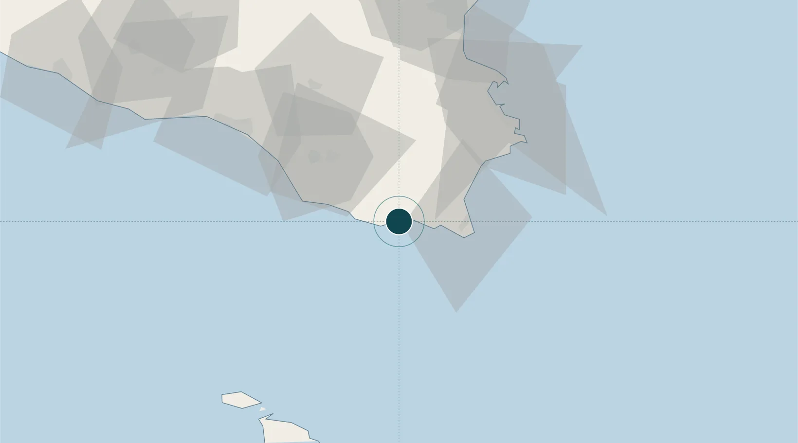
UNCTAD · Port Liner Shipping Connectivity Index

Location

Location of ITPZL
Natural Earth 10m (public domain) · Ragusa · ITPZL · 36.72, 14.85GoogleOSMYandex

Container Terminals · 1

SERMI TERMINAL POZZALLO
SERM SERVIZI MARITTIMI INTERNAZIONALI (SER.M.I.)
SMDG Terminal Code List

Nearby Logistics Neighbours

Ports
  1. 1Siracusa54 km
  2. 2Santa Panagia56 km
  3. 3Augusta65 km
  4. 4Gela66 km
  5. 5Catania90 km
Nearest neighbours — logibook spatial index (haversine) over the source coordinates
Cities
  1. 1Rosolini14 km
  2. 2Modica18 km
  3. 3Portopalo26 km
  4. 4Noto27 km
  5. 5Marina di Ragusa28 km
Nearest neighbours — logibook spatial index (haversine) over the source coordinates
Airports
  1. 1Comiso Airport38 km
  2. 2Sigonella Navy Air Base76 km
  3. 3Catania-Fontanarossa Airport86 km
  4. 4Xewkija Heliport93 km
  5. 5Malta International Airport102 km
Nearest neighbours — logibook spatial index (haversine) over the source coordinates
Trade Zones
  1. 1Malta Freeport104 km
  2. 2Sicily Special Economic Zone Area107 km
  3. 3Calabria Special Economic Zone312 km
  4. 4Basilicata Special Economic Zone427 km
  5. 5Campania Special Economic Zone (Naples and Salerno)460 km
Nearest neighbours — logibook spatial index (haversine) over the source coordinates
DatabookThe Record of Consolidated Knowledge
Italy beyond logistics?
Browse databook

All Sources

Portsthe NGA World Port Index
Public domain (US gov)
Logistics performanceUNCTAD
CC BY 3.0 IGO
Portsthe SMDG Terminal Code List
UN/LOCODE — free, attribution
AirportsOurAirports
Public domain
LocationsUN/LOCODE
UN/LOCODE — free
Trade Zonesthe World Bank SEZ database
CC BY 4.0
Trade ZonesOpen Zone Map
CC BY
← Italy ports