About
Methodology
Sources
Licensing
English
EN
English
TR
Türkçe
DE
Deutsch
FR
Français
ES
Español
IT
Italiano
PT
Português
NL
Nederlands
PL
Polski
RU
Русский
UK
Українська
CS
Čeština
RO
Română
EL
Ελληνικά
BG
Български
AR
العربية
FA
فارسی
UR
اردو
HI
हिन्दी
BN
বাংলা
ID
Bahasa Indonesia
VI
Tiếng Việt
ZH
中文
JA
日本語
KO
한국어
logibook
/
Countries
/
Montenegro
/
Locations
/
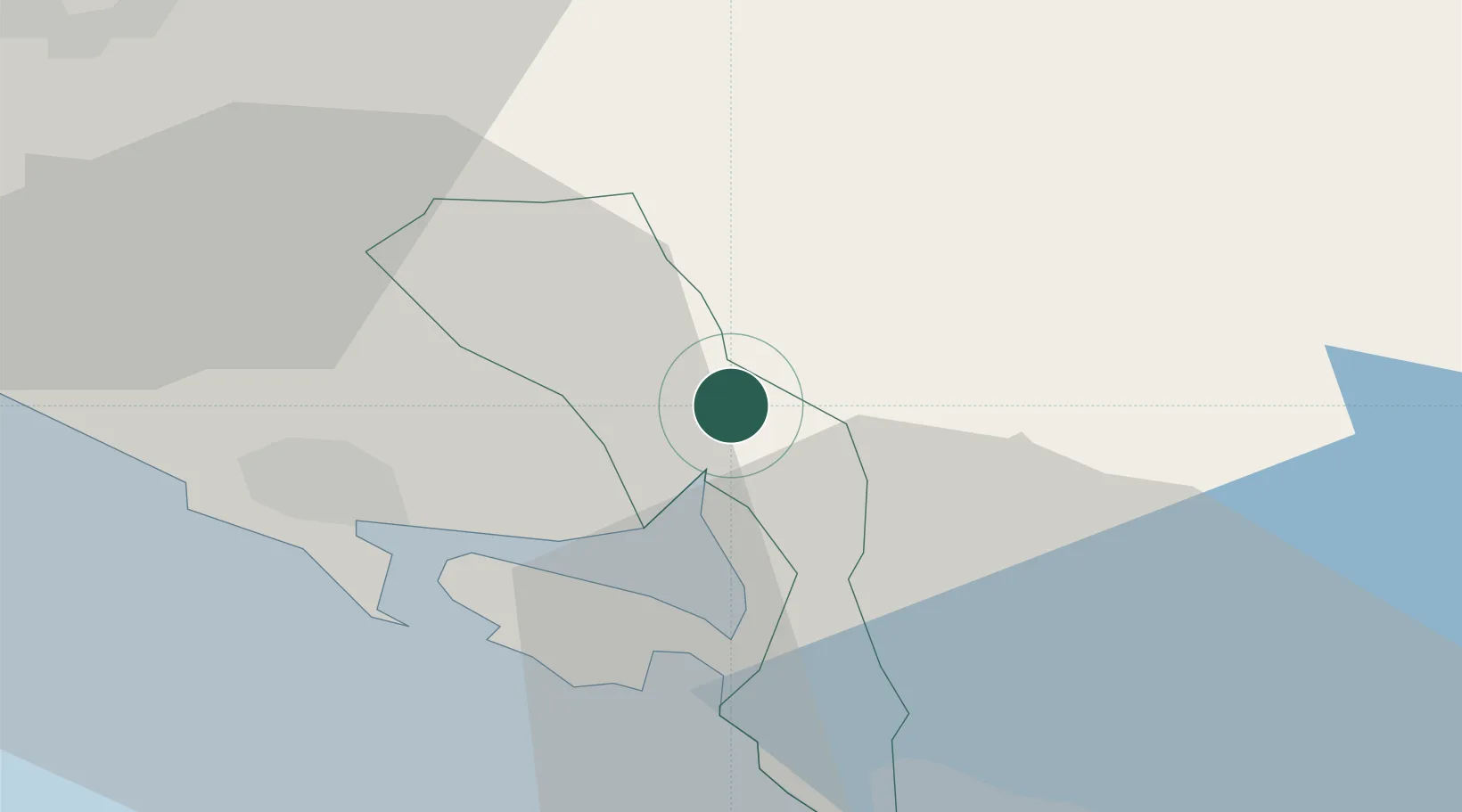
Risan (Risano)
UN/LOCODE hub ·
Montenegro
ME
RSN
Risan (Risano)
42.5167°, 18.7000°
2
Transport functions
Transport Functions
Port
Road
Risan (Risano) is also a profiled seaport →
UN/LOCODE
Location
Natural Earth 10m (public domain) · Kotor · MERSN · 42.52, 18.70
Google ↗
OSM ↗
Yandex ↗
Nearby Logistics Neighbours
Cities
1
Bijela
8 km
2
Tivat
9 km
3
Zelenika
12 km
4
Kotor
12 km
5
Hercegnovi
16 km
Nearest neighbours — logibook spatial index (haversine) over the source coordinates
Ports
1
Tivat
9 km
2
Kotor
12 km
3
Dubrovnik
53 km
4
Bar
58 km
5
Neum
100 km
Nearest neighbours — logibook spatial index (haversine) over the source coordinates
Airports
1
Tivat Airport
13 km
2
Dubrovnik Ruđer Bošković Airport
36 km
3
Podgorica Airport / Podgorica Golubovci Airbase
49 km
4
Mostar International Airport
110 km
5
Sarajevo International Airport
149 km
Nearest neighbours — logibook spatial index (haversine) over the source coordinates
Trade Zones
1
Port of Kotor Free Zone
11 km
2
Free Zone Novi Duvanski Kombinat Podgorica
45 km
3
Port of Bar Free Zone
58 km
4
Koplik Technical and Economic Development Area
69 km
5
Shkodër Industrial Park
83 km
Nearest neighbours — logibook spatial index (haversine) over the source coordinates
Data
book
The Record of Consolidated Knowledge
Montenegro beyond logistics?
Browse databook
→
All Sources
Locations
UN/LOCODE
UN/LOCODE — free
↗
Ports
the NGA World Port Index
Public domain (US gov)
↗
Airports
OurAirports
Public domain
↗
Trade Zones
the World Bank SEZ database
CC BY 4.0
↗
Trade Zones
Open Zone Map
CC BY
↗
← Montenegro locations