Transport Functions
Port
Road
Hub Profile
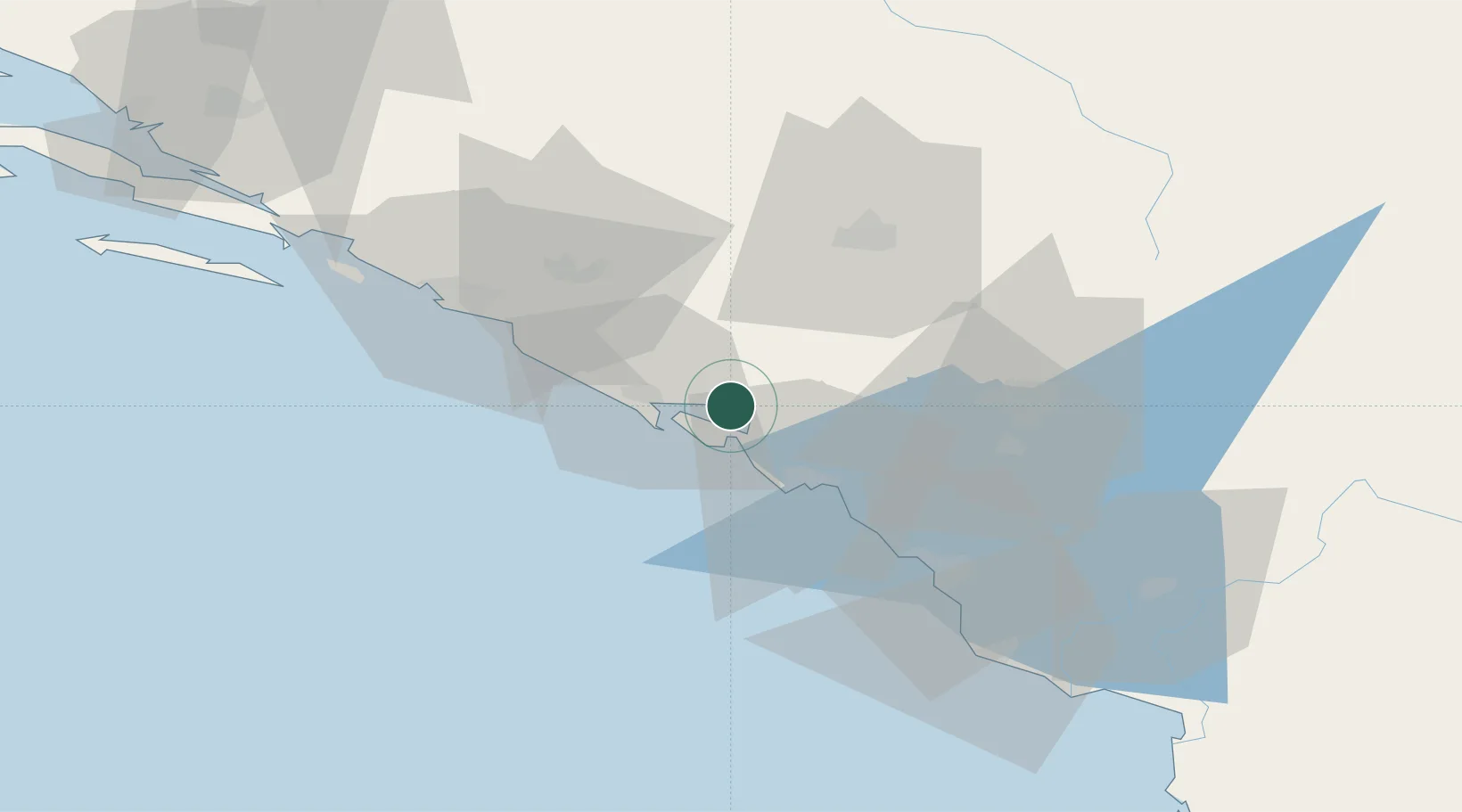
Place type
Populated place
Region
Herceg Novi
Population
2,395
Time zone
Europe/Podgorica
Elevation
6 m
Location
Nearby Logistics Neighbours
DatabookThe Record of Consolidated Knowledge
Montenegro beyond logistics?