Transport Functions
Rail
Road
Hub Profile
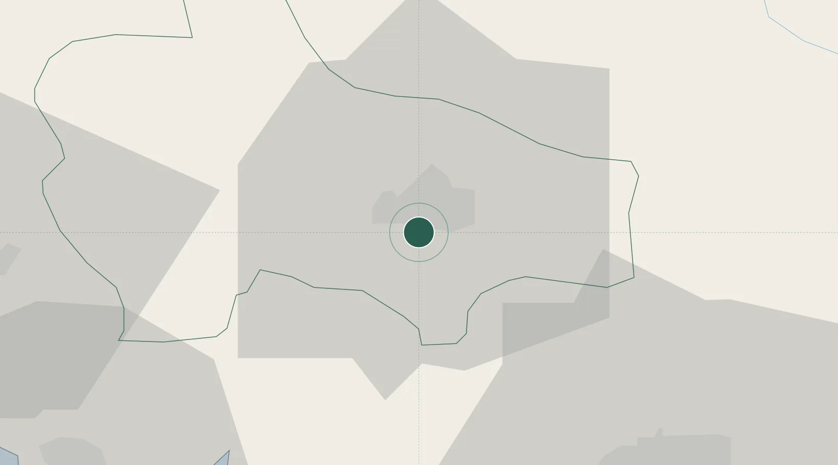
Place type
Regional capital
Region
Opština Nikšić
Population
58,212
Time zone
Europe/Podgorica
Elevation
630 m
Location
Nearby Logistics Neighbours
DatabookThe Record of Consolidated Knowledge
Montenegro beyond logistics?