Transport Functions
Rail
Road
Hub Profile
Place type
Populated place
Region
Batys Qazaqstan
Time zone
Asia/Oral
Elevation
133 m
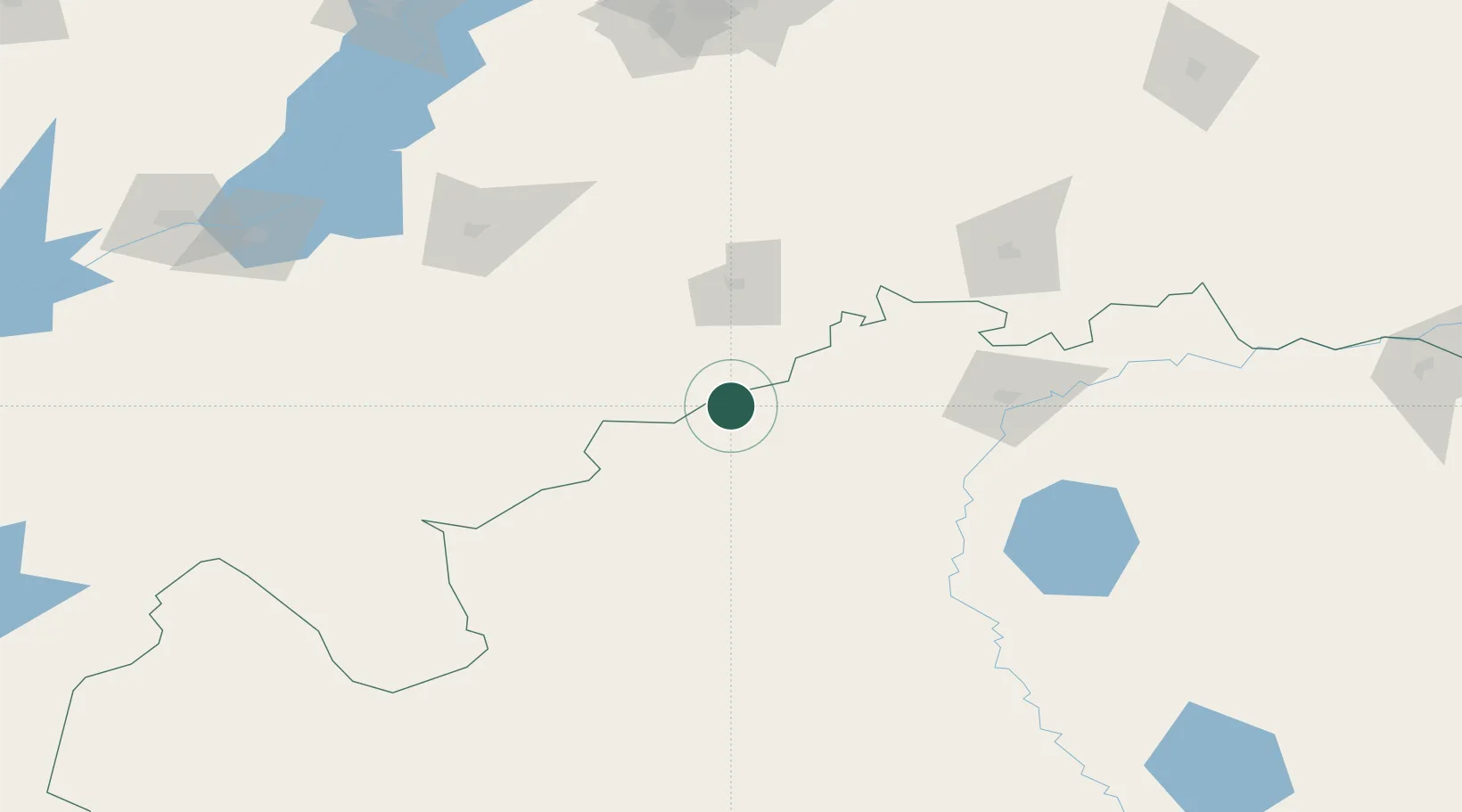
Location
Nearby Logistics Neighbours
Ports
- 1Rostov-Na-Donu873 km
- 2Azov895 km
- 3Taganrog919 km
- 4Yeysk991 km
- 5Mariupol1014 km
Airports
- 1Manshuk Mametova International Airport104 km
- 2Balakovo Airport176 km
- 3Samara Kryazh Air Base214 km
- 4Bobrovka Air Base223 km
- 5Bezymyanka Airfield227 km
DatabookThe Record of Consolidated Knowledge
Kazakhstan beyond logistics?