Transport Functions
Port
Road
Hub Profile
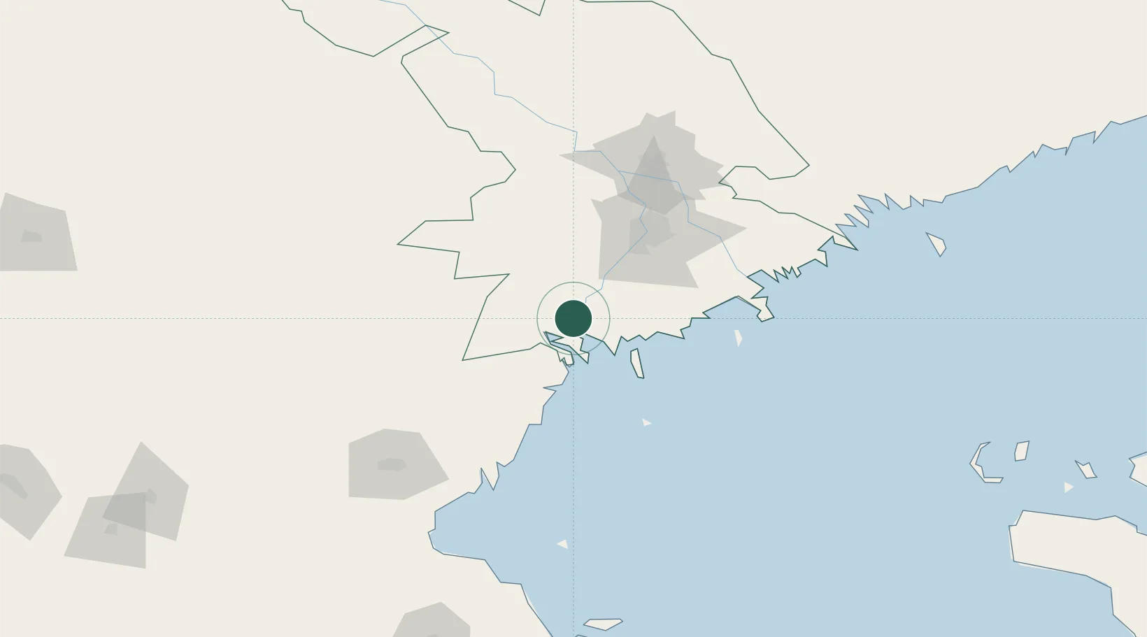
Place type
Populated place
Region
Astrakhan Oblast
Population
4,367
Time zone
Europe/Astrakhan
Elevation
-28 m
Location
Nearby Logistics Neighbours
Cities
- 1Olya6 km
- 2Trudfront12 km
- 3Ikryanoye31 km
- 4Krasnyye Barrikady46 km
- 5Bautino255 km
Ports
- 1Sokhumi611 km
- 2Rostov-Na-Donu619 km
- 3Supsa Marine Terminal625 km
- 4Azov638 km
- 5Batumi665 km
Airports
Trade Zones
DatabookThe Record of Consolidated Knowledge
Russia beyond logistics?