Transport Functions
Port
Road
Hub Profile
Place type
Populated place
Region
Astrakhan Oblast
Time zone
Europe/Astrakhan
Elevation
-14 m
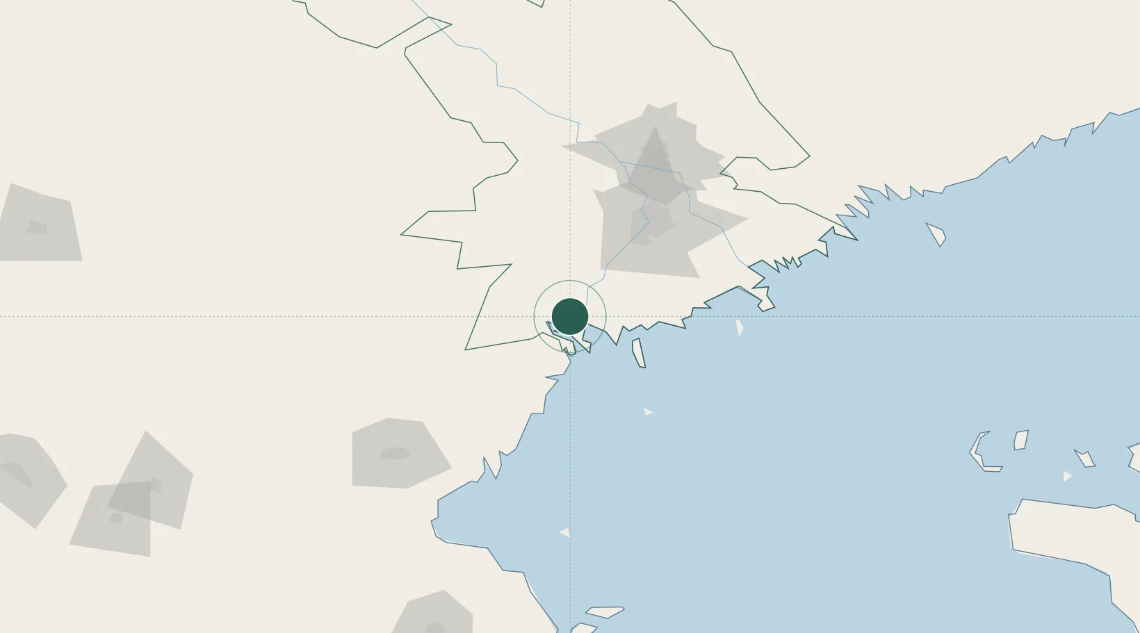
Location
Nearby Logistics Neighbours
Cities
- 1Oranzherei6 km
- 2Trudfront18 km
- 3Ikryanoye37 km
- 4Krasnyye Barrikady52 km
- 5Bautino254 km
Ports
- 1Sokhumi606 km
- 2Rostov-Na-Donu618 km
- 3Supsa Marine Terminal620 km
- 4Azov637 km
- 5Batumi659 km
Airports
Trade Zones
DatabookThe Record of Consolidated Knowledge
Russia beyond logistics?