Transport Functions
Port
Multimodal
Hub Profile
Place type
Provincial seat
Region
Fukuoka
Population
126,364
Time zone
Asia/Tokyo
Elevation
21 m
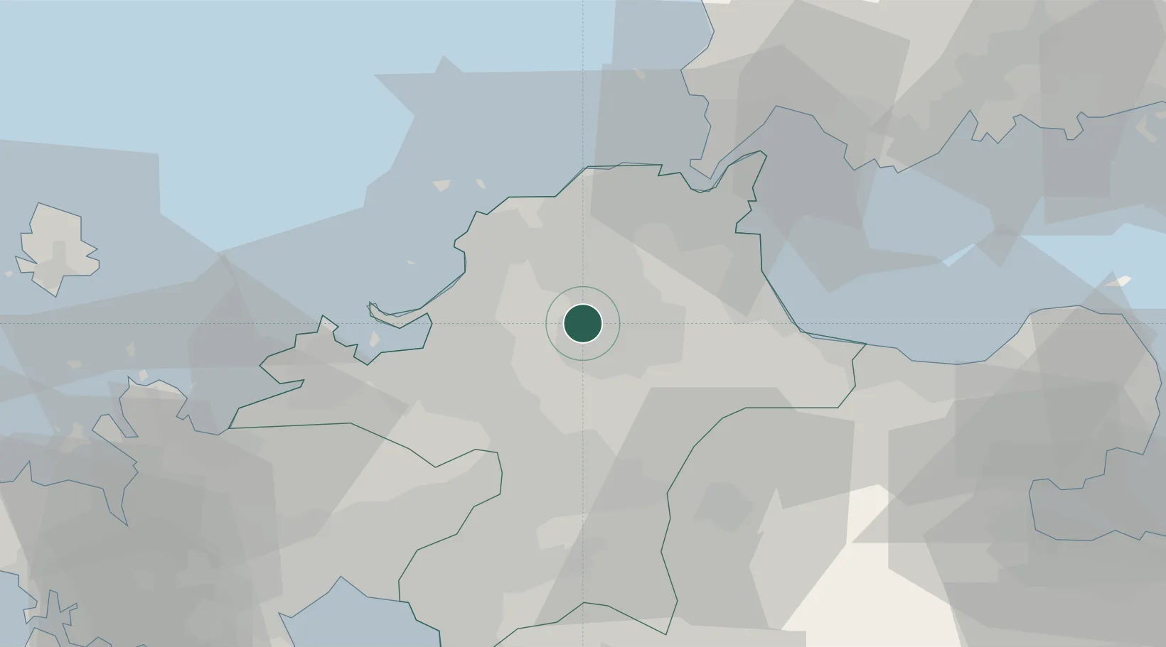
Location
Nearby Logistics Neighbours
Cities
- 1Kama10 km
- 2Sue19 km
- 3Kasuya19 km
- 4Onojo23 km
- 5Chikuzen, Fukuoka24 km
Ports
- 1Hakata27 km
- 2Yahata27 km
- 3Wakamatsu Ko30 km
- 4Kokura Ko32 km
- 5Tobata32 km
Airports
- 1Fukuoka Airport23 km
- 2JASDF Ashiya Air Base26 km
- 3JASDF Tsuiki Air Base33 km
- 4Kitakyushu Airport39 km
- 5Yamaguchi Ube Airport63 km
DatabookThe Record of Consolidated Knowledge
Japan beyond logistics?