Transport Functions
Multimodal
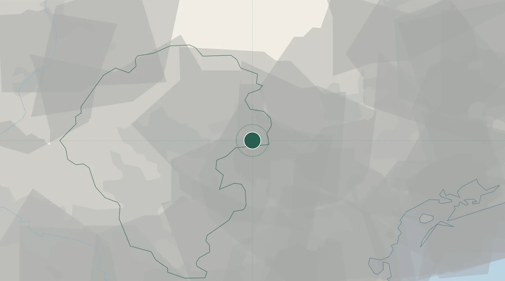
Location
Nearby Logistics Neighbours
Cities
- 1Sant'Anna di Rosa3 km
- 2Fontaniva8 km
- 3Semonzo11 km
- 4San Pietro in Gù12 km
- 5Pianezze12 km
Ports
- 1Porto Di Lido-Venezia61 km
- 2Porto Di Chioggia67 km
- 3Nogaro109 km
- 4Grado119 km
- 5Porto Garibaldi120 km
Airports
- 1Istrana Air Base25 km
- 2Treviso Airport34 km
- 3Padova Gino Allegri Airfield35 km
- 4Venice Marco Polo Airport50 km
- 5Trento-Mattarello Airport61 km
Trade Zones
DatabookThe Record of Consolidated Knowledge
Italy beyond logistics?