UN/LOCODE hub · Italy
ITZYD

Sant'Anna di Rosa

45.7000°, 11.7333°
1
Transport functions

Transport Functions

Multimodal
UN/LOCODE

Location

Location of ITZYD
Natural Earth 10m (public domain) · Vicenza · ITZYD · 45.70, 11.73GoogleOSMYandex

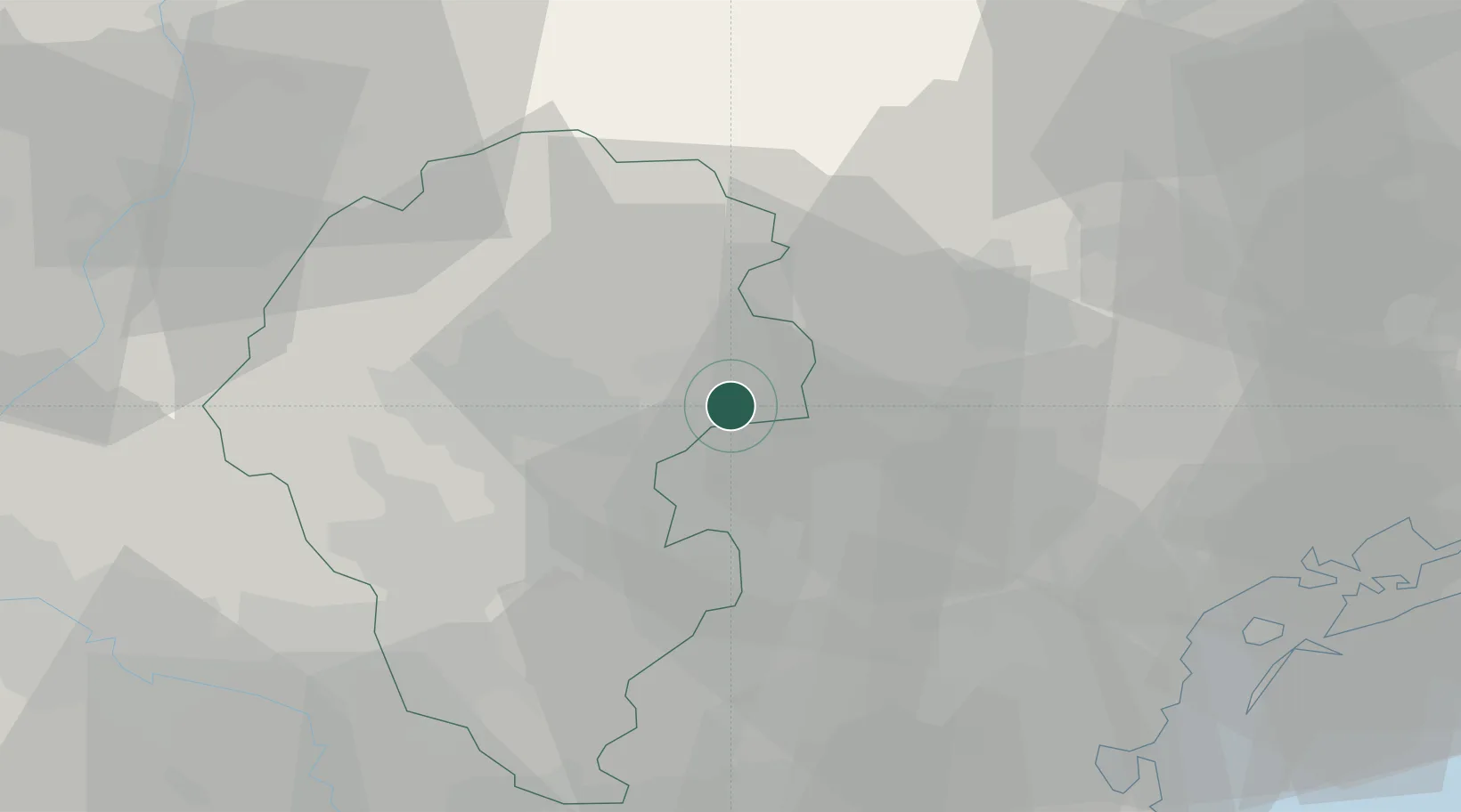
Nearby Logistics Neighbours

Cities
  1. 1Travettore di Rosa3 km
  2. 2Fontaniva8 km
  3. 3Pianezze10 km
  4. 4Mason Vicentino11 km
  5. 5San Pietro in Gù11 km
Nearest neighbours — logibook spatial index (haversine) over the source coordinates
Ports
  1. 1Porto Di Lido-Venezia63 km
  2. 2Porto Di Chioggia68 km
  3. 3Nogaro112 km
  4. 4Porto Garibaldi121 km
  5. 5Grado122 km
Nearest neighbours — logibook spatial index (haversine) over the source coordinates
Airports
  1. 1Istrana Air Base28 km
  2. 2Padova Gino Allegri Airfield35 km
  3. 3Treviso Airport36 km
  4. 4Venice Marco Polo Airport53 km
  5. 5Trento-Mattarello Airport59 km
Nearest neighbours — logibook spatial index (haversine) over the source coordinates
Trade Zones
  1. 1Consorzio Zona Industriale e Porto Fluviale di Padova38 km
  2. 2Free Port of Venice54 km
  3. 3Livigno Free Trade Zone156 km
  4. 4Free Port of Trieste157 km
  5. 5Port of Pula Free Zone189 km
Nearest neighbours — logibook spatial index (haversine) over the source coordinates
DatabookThe Record of Consolidated Knowledge
Italy beyond logistics?
Browse databook

All Sources

LocationsUN/LOCODE
UN/LOCODE — free
Portsthe NGA World Port Index
Public domain (US gov)
AirportsOurAirports
Public domain
Trade Zonesthe World Bank SEZ database
CC BY 4.0
Trade ZonesOpen Zone Map
CC BY
← Italy locations