Transport Functions
Rail
Road
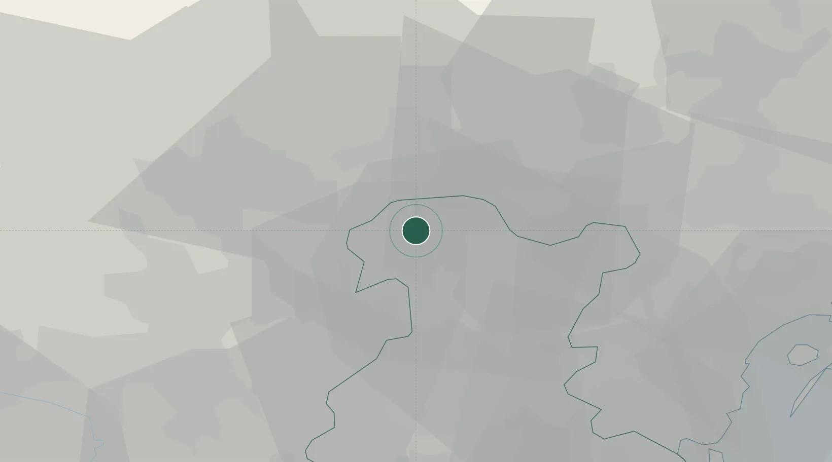
Hub Profile
Place type
District seat
Region
Veneto
Population
6,081
Time zone
Europe/Rome
Elevation
44 m
Location
Nearby Logistics Neighbours
Cities
- 1San Pietro in Gù7 km
- 2Sant'Anna di Rosa8 km
- 3Travettore di Rosa8 km
- 4Marsango11 km
- 5Piazzola sul Brenta11 km
Ports
- 1Porto Di Lido-Venezia58 km
- 2Porto Di Chioggia62 km
- 3Nogaro111 km
- 4Porto Garibaldi113 km
- 5Grado121 km
Airports
- 1Istrana Air Base27 km
- 2Padova Gino Allegri Airfield28 km
- 3Treviso Airport35 km
- 4Venice Marco Polo Airport49 km
- 5Trento-Mattarello Airport65 km
Trade Zones
DatabookThe Record of Consolidated Knowledge
Italy beyond logistics?