Transport Functions
Rail
Road
Hub Profile
Region
TV
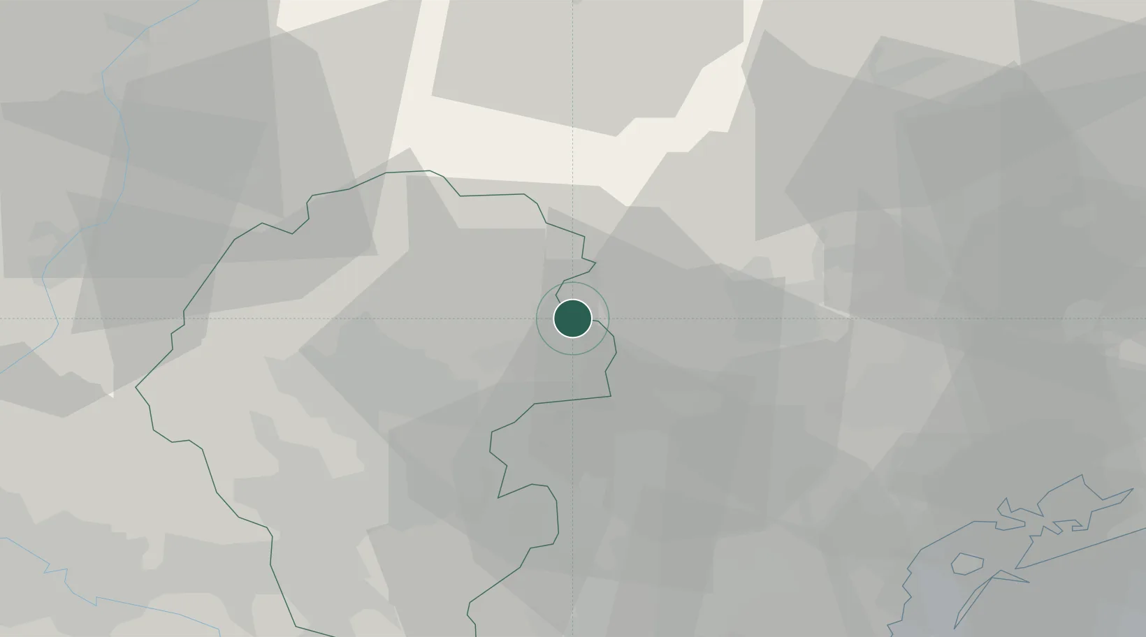
Location
Nearby Logistics Neighbours
Cities
- 1Solagna4 km
- 2Campolongo sul Brenta7 km
- 3San Nazario7 km
- 4Olmo di Creazzo8 km
- 5Castelcucco9 km
Ports
- 1Porto Di Lido-Venezia67 km
- 2Porto Di Chioggia76 km
- 3Nogaro109 km
- 4Grado119 km
- 5Porto Garibaldi131 km
Airports
- 1Istrana Air Base28 km
- 2Treviso Airport37 km
- 3Padova Gino Allegri Airfield45 km
- 4Trento-Mattarello Airport56 km
- 5Venice Marco Polo Airport56 km
Trade Zones
DatabookThe Record of Consolidated Knowledge
Italy beyond logistics?