Transport Functions
Road
Multimodal
Hub Profile
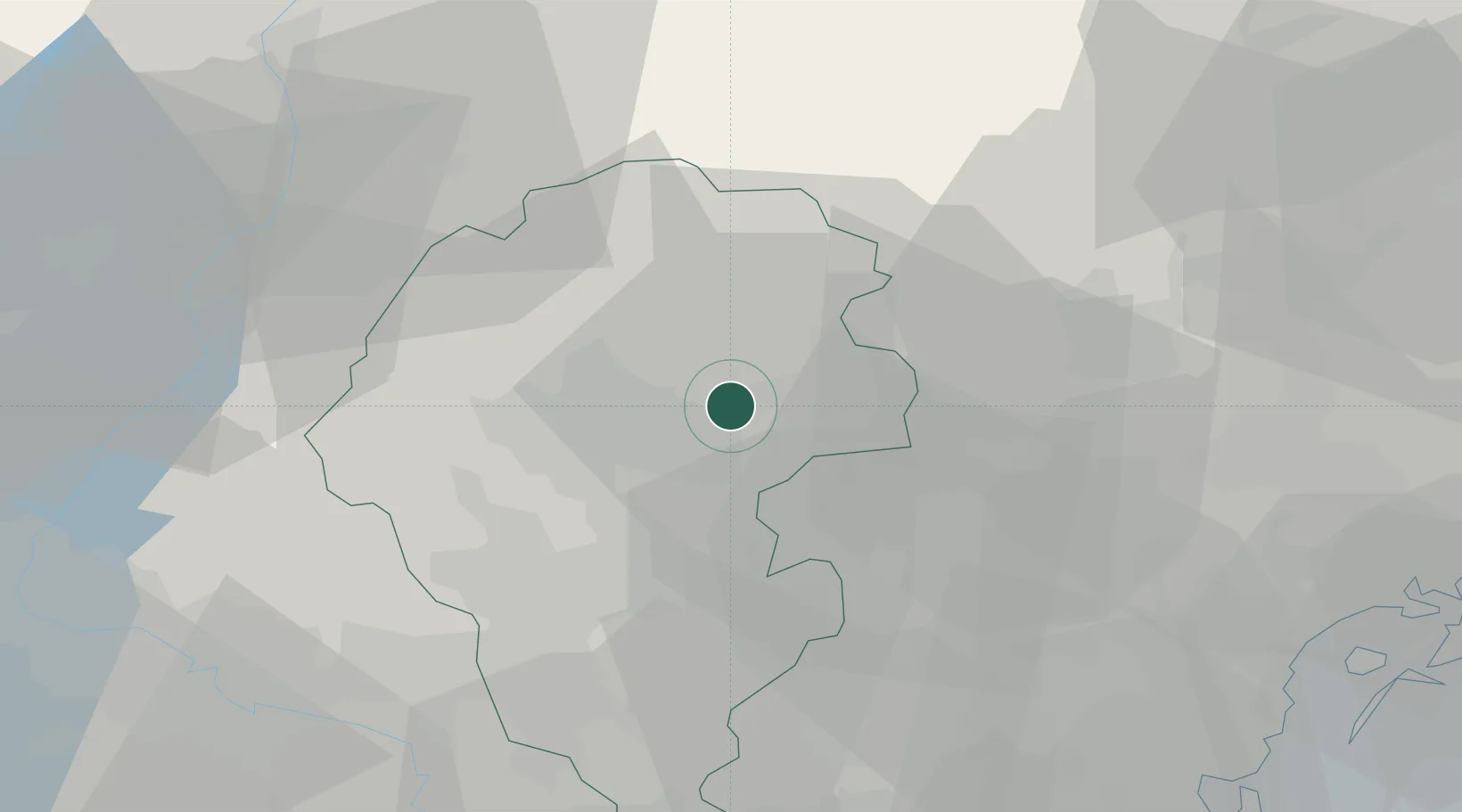
Place type
District seat
Region
Veneto
Population
564
Time zone
Europe/Rome
Elevation
205 m
Location
Nearby Logistics Neighbours
Cities
- 1Mason Vicentino2 km
- 2Montecchio Precalcino8 km
- 3Sant'Anna di Rosa10 km
- 4Campolongo sul Brenta11 km
- 5Solagna12 km
Ports
- 1Porto Di Lido-Venezia73 km
- 2Porto Di Chioggia77 km
- 3Nogaro120 km
- 4Porto Garibaldi128 km
- 5Grado131 km
Airports
- 1Istrana Air Base37 km
- 2Padova Gino Allegri Airfield42 km
- 3Treviso Airport46 km
- 4Trento-Mattarello Airport50 km
- 5Venice Marco Polo Airport63 km
Trade Zones
DatabookThe Record of Consolidated Knowledge
Italy beyond logistics?