Transport Functions
Road
Multimodal
Hub Profile
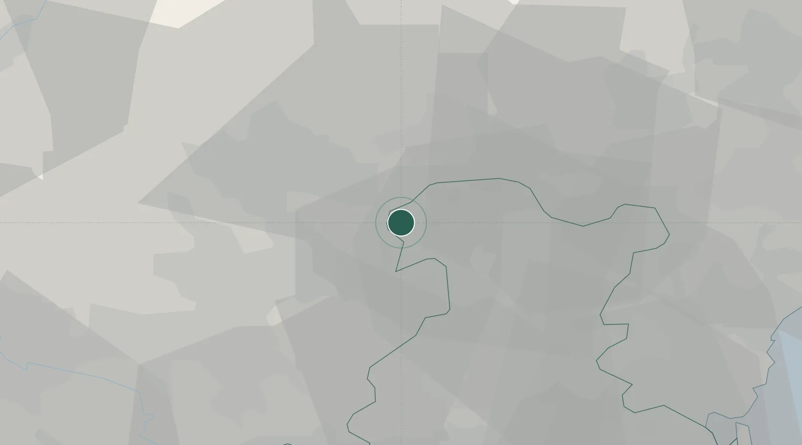
Place type
District seat
Region
Veneto
Population
2,927
Time zone
Europe/Rome
Elevation
45 m
Location
Nearby Logistics Neighbours
Cities
- 1Fontaniva7 km
- 2Quinto Vicentino7 km
- 3Monticello Conte Otto8 km
- 4Montecchio Precalcino10 km
- 5Polegge10 km
Ports
- 1Porto Di Lido-Venezia64 km
- 2Porto Di Chioggia65 km
- 3Porto Garibaldi114 km
- 4Nogaro118 km
- 5Grado127 km
Airports
- 1Padova Gino Allegri Airfield28 km
- 2Istrana Air Base34 km
- 3Treviso Airport41 km
- 4Venice Marco Polo Airport55 km
- 5Trento-Mattarello Airport62 km
Trade Zones
DatabookThe Record of Consolidated Knowledge
Italy beyond logistics?