Transport Functions
Multimodal
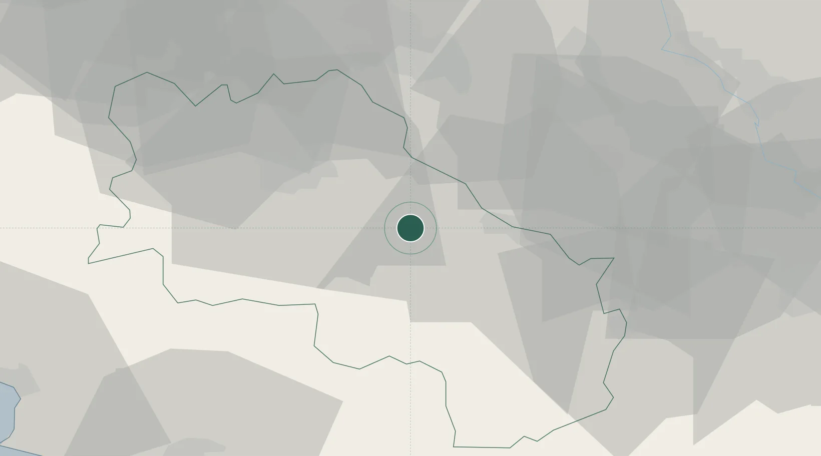
Hub Profile
Place type
District seat
Region
Tuscany
Population
4,114
Time zone
Europe/Rome
Elevation
200 m
Location
Nearby Logistics Neighbours
Cities
- 1Serre di Rapolano6 km
- 2Trequanda11 km
- 3Ambra17 km
- 4Torrita di Siena19 km
- 5Montefollonico20 km
Ports
- 1Portovecchio Di Piombino87 km
- 2Vada90 km
- 3Porto Santo Stefano95 km
- 4Porto Ercole96 km
- 5Livorno107 km
Airports
Trade Zones
DatabookThe Record of Consolidated Knowledge
Italy beyond logistics?