Transport Functions
Rail
Road
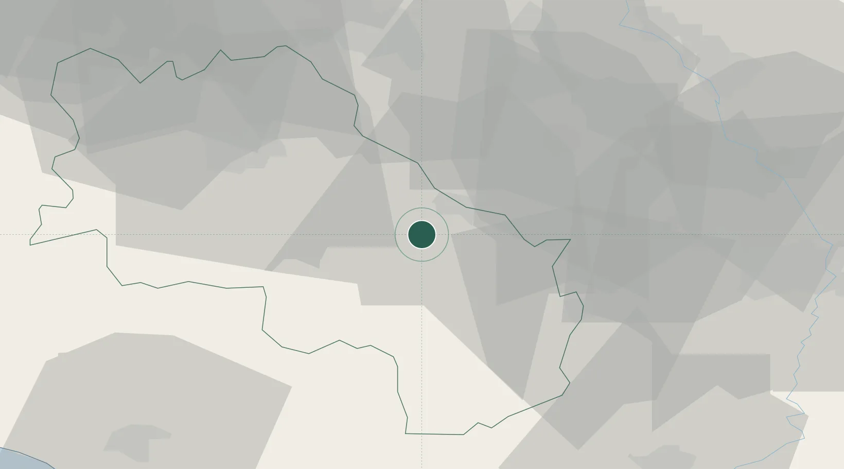
Hub Profile
Place type
District seat
Region
Tuscany
Population
452
Time zone
Europe/Rome
Elevation
453 m
Location
Nearby Logistics Neighbours
Cities
- 1Torrita di Siena8 km
- 2Serre di Rapolano8 km
- 3Montefollonico9 km
- 4Asciano11 km
- 5Foiano Della Chiana14 km
Ports
- 1Porto Santo Stefano94 km
- 2Porto Ercole94 km
- 3Portovecchio Di Piombino94 km
- 4Vada100 km
- 5Giglio Porto110 km
Airports
Trade Zones
DatabookThe Record of Consolidated Knowledge
Italy beyond logistics?