UN/LOCODE hub · Italy
ITZTK
Serre di Rapolano
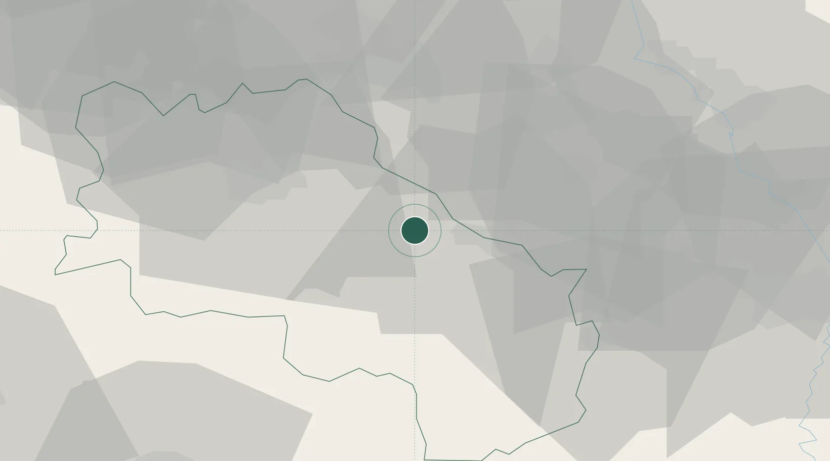
43.2500°, 11.6167°
1,492
Population
1
Transport functions
Transport Functions
Multimodal
Hub Profile
Place type
Populated place
Region
Tuscany
Population
1,492
Time zone
Europe/Rome
Elevation
350 m
Location
Nearby Logistics Neighbours
Cities
- 1Asciano6 km
- 2Trequanda8 km
- 3Marciano della Chiana15 km
- 4Ambra15 km
- 5Torrita di Siena15 km
Ports
- 1Portovecchio Di Piombino93 km
- 2Vada95 km
- 3Porto Santo Stefano99 km
- 4Porto Ercole100 km
- 5Livorno112 km
Airports
Trade Zones
DatabookThe Record of Consolidated Knowledge
Italy beyond logistics?