Transport Functions
Multimodal
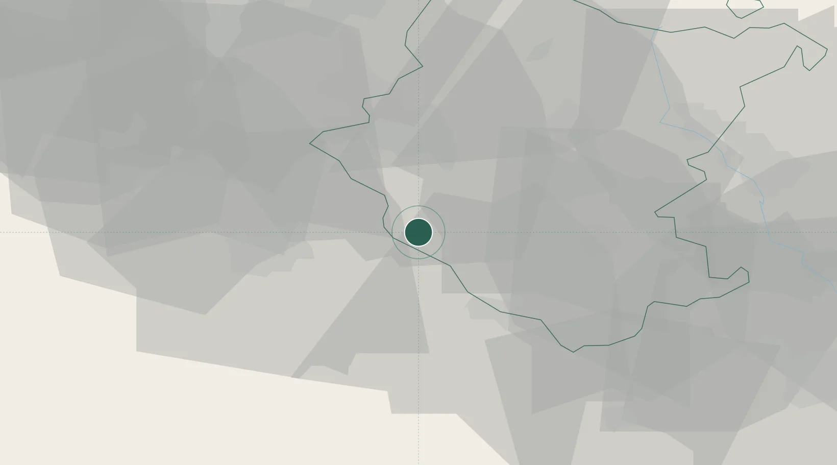
Hub Profile
Place type
Populated place
Region
Tuscany
Population
1,247
Time zone
Europe/Rome
Elevation
258 m
Location
Nearby Logistics Neighbours
Cities
- 1Bucine11 km
- 2Serre di Rapolano15 km
- 3Asciano17 km
- 4Marciano della Chiana18 km
- 5Cavriglia18 km
Ports
- 1Vada93 km
- 2Portovecchio Di Piombino98 km
- 3Livorno107 km
- 4Rimini110 km
- 5Porto Santo Stefano112 km
Airports
Trade Zones
DatabookThe Record of Consolidated Knowledge
Italy beyond logistics?