UN/LOCODE hub · Italy
ITZUJ

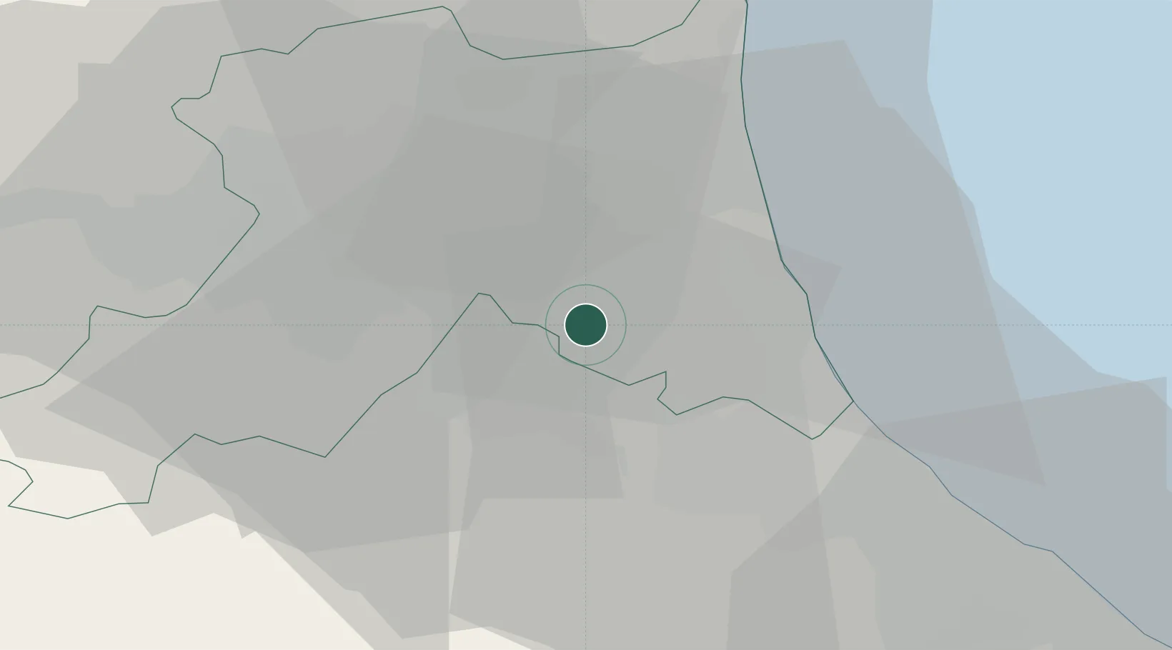
San Pietro in Vincoli

44.3000°, 12.1333°
1,609
Population
1
Transport functions

Transport Functions

Multimodal
UN/LOCODE

Hub Profile

Place type
Populated place
GeoNames
Region
Emilia-Romagna
GeoNames
Population
1,609
GeoNames
Time zone
Europe/Rome
GeoNames
Elevation
17 m
GeoNames

Location

Location of ITZUJ
Natural Earth 10m (public domain) · Emilia-Romagna · ITZUJ · 44.30, 12.13GoogleOSMYandex

Nearby Logistics Neighbours

Cities
  1. 1San Pietro In Campiano2 km
  2. 2Godo11 km
  3. 3Castiglione di Ravenna11 km
  4. 4Piangipane14 km
  5. 5Ravenna17 km
Nearest neighbours — logibook spatial index (haversine) over the source coordinates
Ports
  1. 1Cesenatico24 km
  2. 2Porto Di Corsini25 km
  3. 3Rimini43 km
  4. 4Porto Garibaldi43 km
  5. 5Pesaro74 km
Nearest neighbours — logibook spatial index (haversine) over the source coordinates
Airports
  1. 1Forlì-Luigi Ridolfi International Airport13 km
  2. 2Cervia Air Base16 km
  3. 3Federico Fellini International Airport49 km
  4. 4Bologna Guglielmo Marconi Airport72 km
  5. 5Florence Airport, Peretola92 km
Nearest neighbours — logibook spatial index (haversine) over the source coordinates
Trade Zones
  1. 1Consorzio Zona Industriale e Porto Fluviale di Padova122 km
  2. 2Free Port of Venice127 km
  3. 3Port of Pula Free Zone149 km
  4. 4Port of Rijeka Free Zone195 km
  5. 5Free Port of Trieste197 km
Nearest neighbours — logibook spatial index (haversine) over the source coordinates
DatabookThe Record of Consolidated Knowledge
Italy beyond logistics?
Browse databook

All Sources

LocationsUN/LOCODE
UN/LOCODE — free
LocationsGeoNames
CC BY 4.0
Portsthe NGA World Port Index
Public domain (US gov)
AirportsOurAirports
Public domain
Trade Zonesthe World Bank SEZ database
CC BY 4.0
Trade ZonesOpen Zone Map
CC BY
← Italy locations