UN/LOCODE hub · Italy
ITRAN
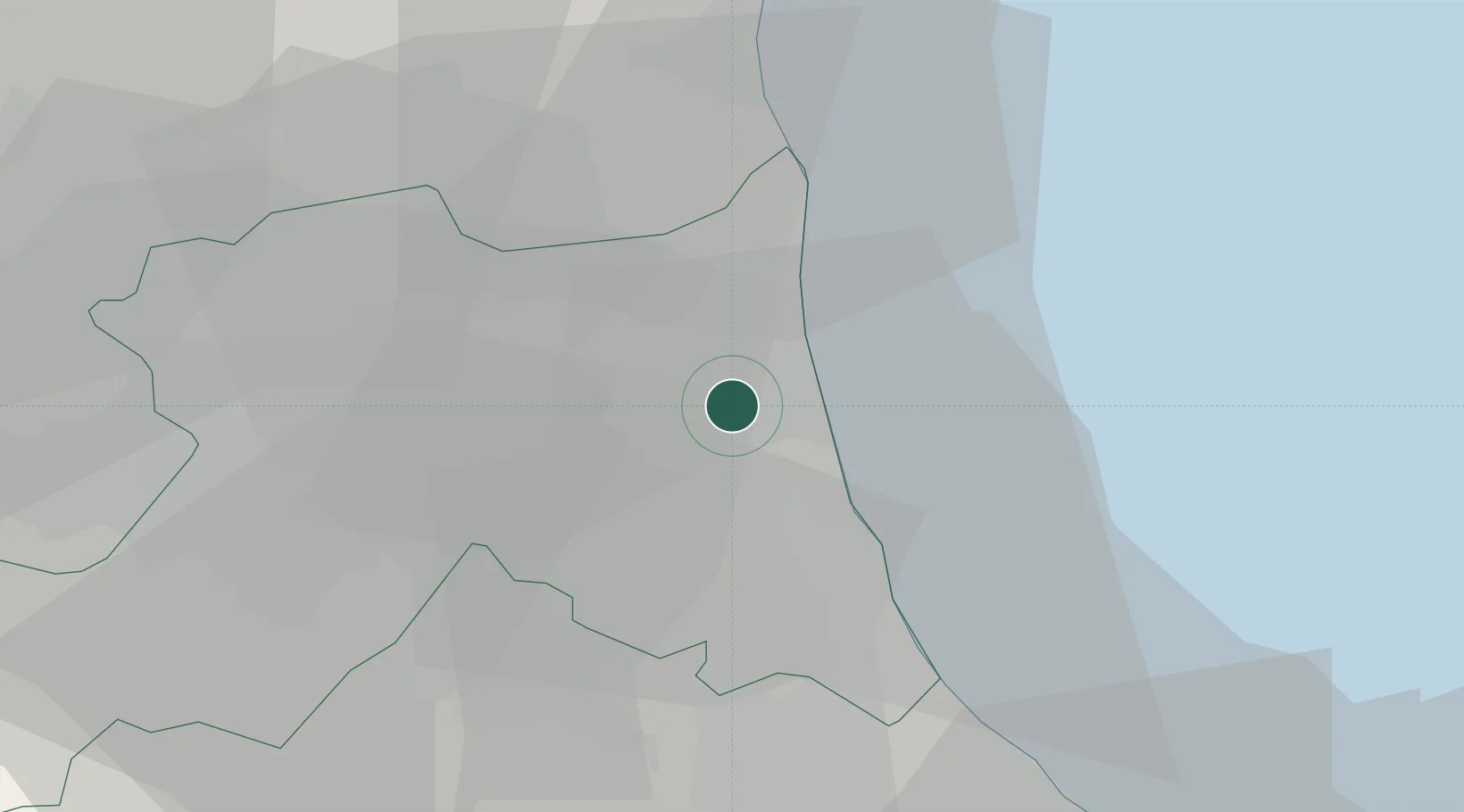
Ravenna
44.4341°, 12.2287°
80,868
Population
1
Transport functions
2
Container terminals
Transport Functions
Port
Hub Profile
Place type
Provincial seat
Region
Emilia-Romagna
Population
80,868
Time zone
Europe/Rome
Elevation
4 m
Logistics facilities
11
Container terminals
2
Location
Nearby Logistics Neighbours
Cities
- 1Porto San Vitale0 km
- 2Piangipane12 km
- 3Godo14 km
- 4Alfonsine16 km
- 5San Pietro in Vincoli17 km
Ports
- 1Porto Di Corsini8 km
- 2Porto Garibaldi27 km
- 3Cesenatico29 km
- 4Rimini48 km
- 5Pesaro78 km
Airports
Trade Zones
- 1Consorzio Zona Industriale e Porto Fluviale di Padova109 km
- 2Free Port of Venice111 km
- 3Port of Pula Free Zone136 km
- 4Free Port of Trieste180 km
- 5Port of Rijeka Free Zone181 km
DatabookThe Record of Consolidated Knowledge
Italy beyond logistics?