UN/LOCODE hub · Italy
ITRSP

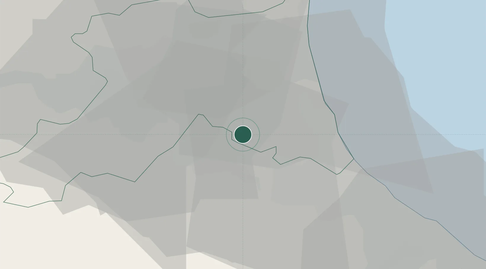
San Pietro In Campiano

44.2833°, 12.1333°
482
Population
5
Transport functions

Transport Functions

Rail
Road
Airport
Multimodal
Postal
UN/LOCODE

Hub Profile

Place type
Populated place
GeoNames
Region
Emilia-Romagna
GeoNames
Population
482
GeoNames
Time zone
Europe/Rome
GeoNames
Elevation
8 m
GeoNames

Location

Location of ITRSP
Natural Earth 10m (public domain) · Emilia-Romagna · ITRSP · 44.28, 12.13GoogleOSMYandex

Nearby Logistics Neighbours

Cities
  1. 1San Pietro in Vincoli2 km
  2. 2Castiglione di Ravenna10 km
  3. 3Godo12 km
  4. 4Piangipane15 km
  5. 5Meldola18 km
Nearest neighbours — logibook spatial index (haversine) over the source coordinates
Ports
  1. 1Cesenatico23 km
  2. 2Porto Di Corsini27 km
  3. 3Rimini42 km
  4. 4Porto Garibaldi45 km
  5. 5Pesaro73 km
Nearest neighbours — logibook spatial index (haversine) over the source coordinates
Airports
  1. 1Forlì-Luigi Ridolfi International Airport11 km
  2. 2Cervia Air Base15 km
  3. 3Federico Fellini International Airport48 km
  4. 4Bologna Guglielmo Marconi Airport73 km
  5. 5Florence Airport, Peretola91 km
Nearest neighbours — logibook spatial index (haversine) over the source coordinates
Trade Zones
  1. 1Consorzio Zona Industriale e Porto Fluviale di Padova124 km
  2. 2Free Port of Venice128 km
  3. 3Port of Pula Free Zone149 km
  4. 4Port of Rijeka Free Zone196 km
  5. 5Free Port of Trieste198 km
Nearest neighbours — logibook spatial index (haversine) over the source coordinates
DatabookThe Record of Consolidated Knowledge
Italy beyond logistics?
Browse databook

All Sources

LocationsUN/LOCODE
UN/LOCODE — free
LocationsGeoNames
CC BY 4.0
Portsthe NGA World Port Index
Public domain (US gov)
AirportsOurAirports
Public domain
Trade Zonesthe World Bank SEZ database
CC BY 4.0
Trade ZonesOpen Zone Map
CC BY
← Italy locations