Transport Functions
Multimodal
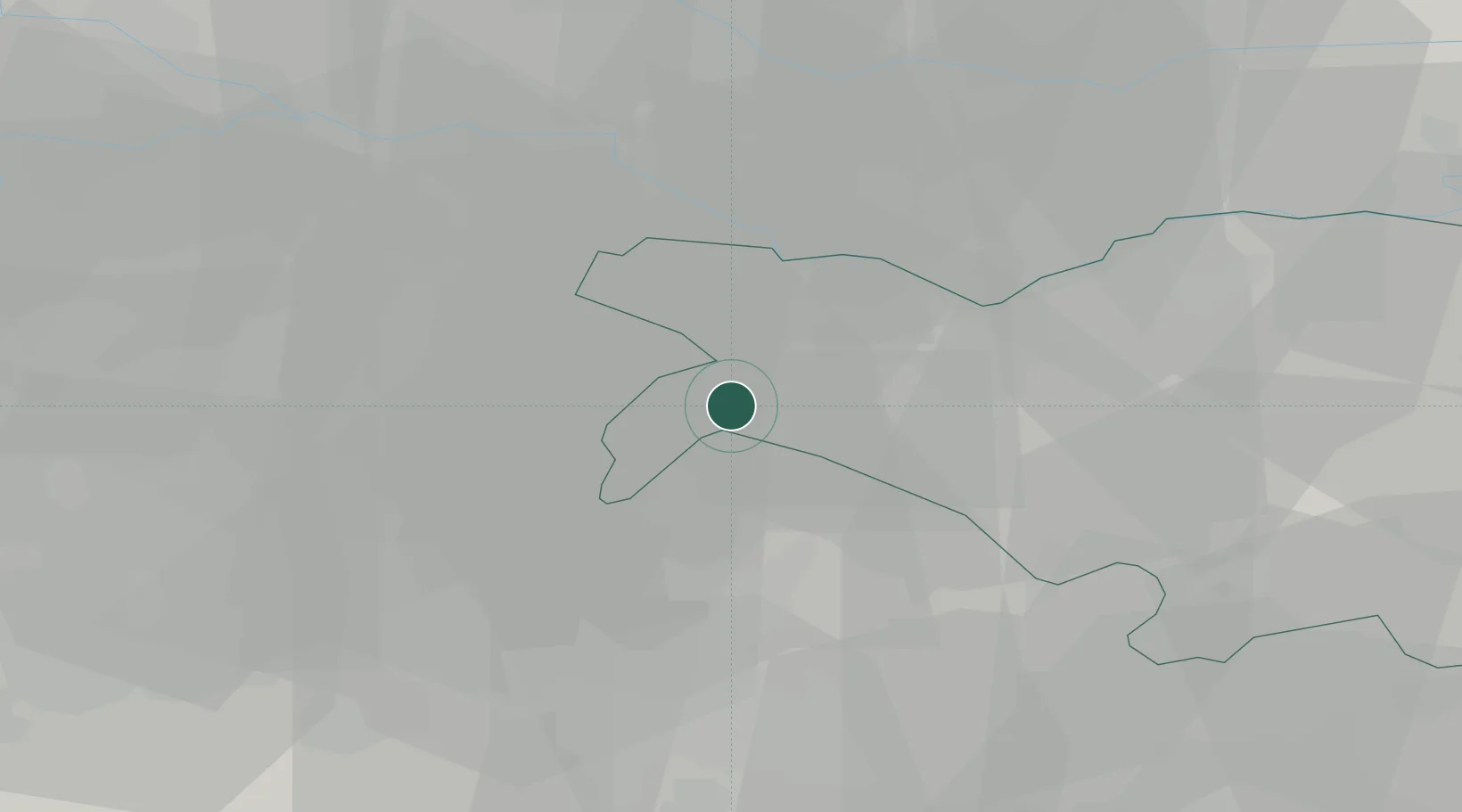
Hub Profile
Place type
District seat
Region
Emilia-Romagna
Population
2,867
Time zone
Europe/Rome
Elevation
19 m
Location
Nearby Logistics Neighbours
Cities
- 1Casumaro5 km
- 2Dosso5 km
- 3San Vincenzo di Galliera8 km
- 4San Prospero9 km
- 5Poggio Renatico9 km
Ports
- 1Porto Garibaldi70 km
- 2Porto Di Corsini79 km
- 3Porto Di Chioggia87 km
- 4Cesenatico105 km
- 5Porto Di Lido-Venezia107 km
Airports
Trade Zones
DatabookThe Record of Consolidated Knowledge
Italy beyond logistics?