Transport Functions
Road
Multimodal
Hub Profile
Place type
Populated place
Region
Emilia-Romagna
Population
1,436
Time zone
Europe/Rome
Elevation
16 m
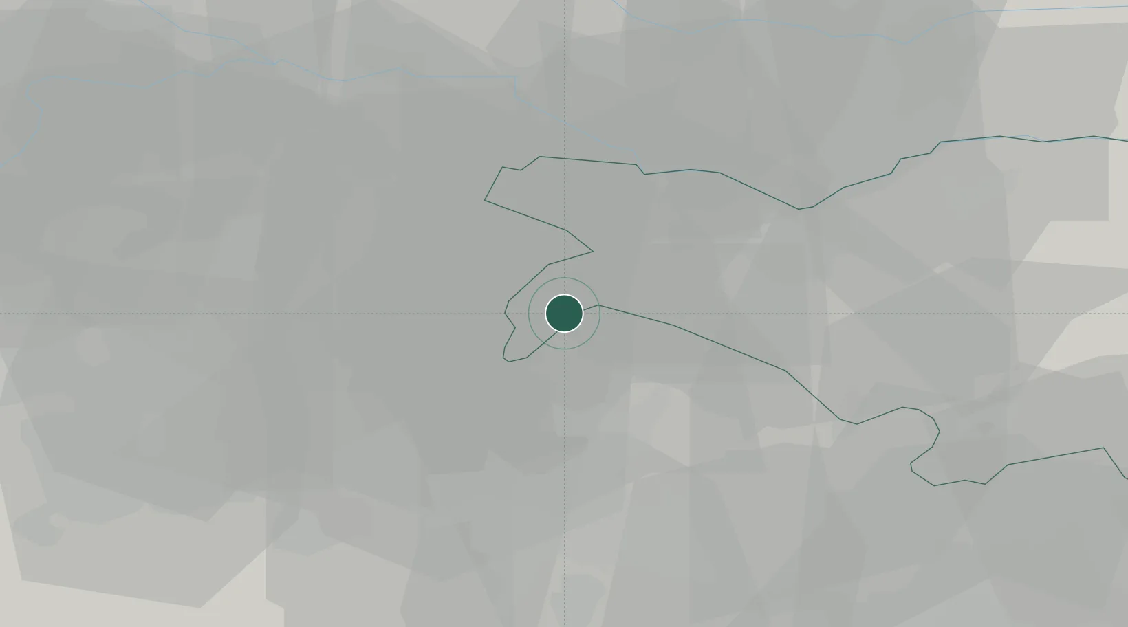
Location
Nearby Logistics Neighbours
Cities
- 1Renazzo4 km
- 2Sant'Agostino5 km
- 3Casumaro8 km
- 4San Vincenzo di Galliera9 km
- 5Castello D'Argile10 km
Ports
- 1Porto Garibaldi73 km
- 2Porto Di Corsini82 km
- 3Porto Di Chioggia92 km
- 4Cesenatico106 km
- 5Porto Di Lido-Venezia113 km
Airports
Trade Zones
DatabookThe Record of Consolidated Knowledge
Italy beyond logistics?