Transport Functions
Rail
Road
Hub Profile
Place type
District seat
Region
Emilia-Romagna
Population
5,306
Time zone
Europe/Rome
Elevation
10 m
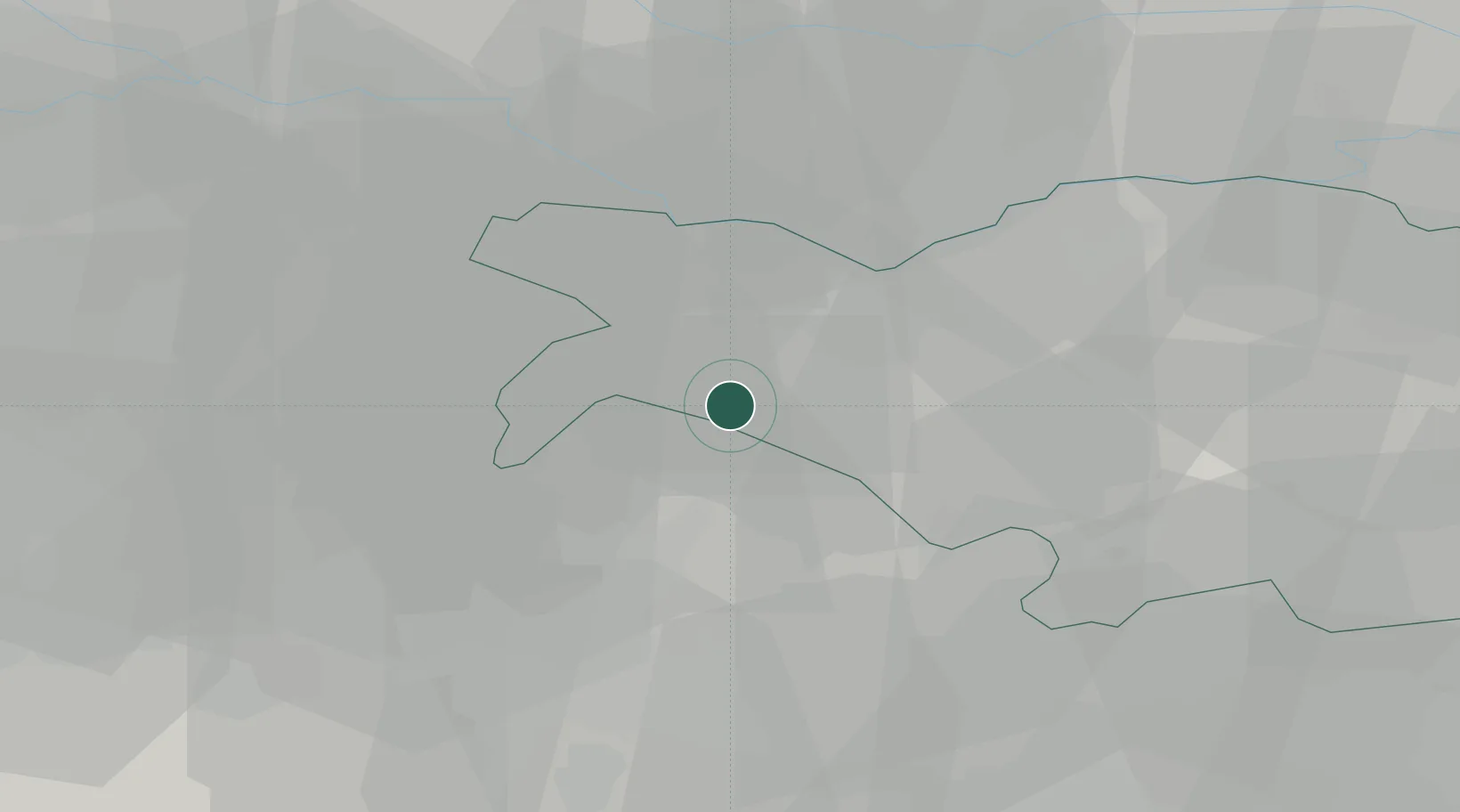
Location
Nearby Logistics Neighbours
Cities
- 1San Prospero2 km
- 2San Vincenzo di Galliera5 km
- 3Sant'Agostino9 km
- 4Dosso12 km
- 5Casumaro13 km
Ports
- 1Porto Garibaldi62 km
- 2Porto Di Corsini71 km
- 3Porto Di Chioggia83 km
- 4Cesenatico96 km
- 5Porto Di Lido-Venezia104 km
Airports
Trade Zones
DatabookThe Record of Consolidated Knowledge
Italy beyond logistics?