Transport Functions
Rail
Road
Hub Profile
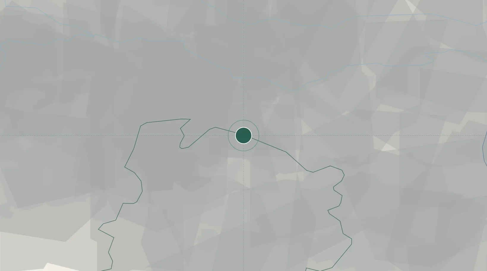
Place type
Populated place
Region
Emilia-Romagna
Population
48
Time zone
Europe/Rome
Elevation
14 m
Location
Nearby Logistics Neighbours
Cities
- 1Poggio Renatico2 km
- 2San Vincenzo di Galliera3 km
- 3Sant'Agostino9 km
- 4Dosso11 km
- 5San Giorgio di Piano13 km
Ports
- 1Porto Garibaldi63 km
- 2Porto Di Corsini71 km
- 3Porto Di Chioggia85 km
- 4Cesenatico96 km
- 5Porto Di Lido-Venezia106 km
Airports
Trade Zones
DatabookThe Record of Consolidated Knowledge
Italy beyond logistics?