Transport Functions
Rail
Road
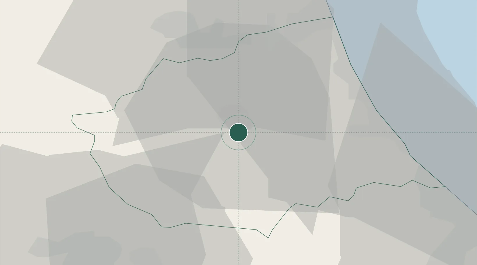
Hub Profile
Place type
Provincial seat
Region
Abruzzo
Population
54,338
Time zone
Europe/Rome
Elevation
265 m
Location
Nearby Logistics Neighbours
Cities
- 1San Nicolò a Tordino8 km
- 2Villa Rosa10 km
- 3Castellalto10 km
- 4Sant'Atto10 km
- 5Castelnuovo Vomano13 km
Ports
- 1Giulianova26 km
- 2San Benedetto Del Tronto38 km
- 3Pescara49 km
- 4Ortona68 km
- 5Civitanova Marche74 km
Airports
- 1Abruzzo Airport47 km
- 2Guidonia Air Base108 km
- 3Perugia San Francesco d'Assisi – Umbria International Airport109 km
- 4Marche Airport111 km
- 5Rome Urbe Airport125 km
Trade Zones
DatabookThe Record of Consolidated Knowledge
Italy beyond logistics?