UN/LOCODE hub · Italy
ITZSH
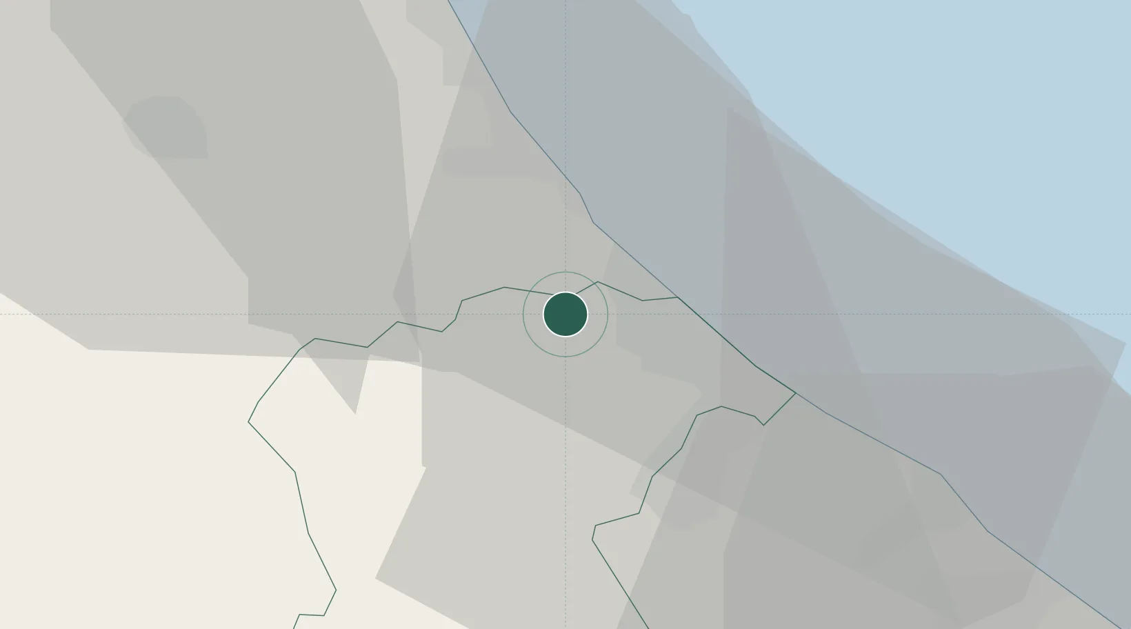
Città Sant'Angelo
42.5167°, 14.0500°
2,451
Population
1
Transport functions
Transport Functions
Multimodal
Hub Profile
Place type
District seat
Region
Abruzzo
Population
2,451
Time zone
Europe/Rome
Elevation
317 m
Location
Nearby Logistics Neighbours
Cities
- 1Silvi Marina6 km
- 2Montesilvano8 km
- 3Atri10 km
- 4Castilenti11 km
- 5Casoli13 km
Ports
- 1Pescara16 km
- 2Giulianova27 km
- 3Ortona35 km
- 4San Benedetto Del Tronto51 km
- 5Vasto71 km
Airports
- 1Abruzzo Airport15 km
- 2Guidonia Air Base123 km
- 3San Domino Island Heliport127 km
- 4Marche Airport134 km
- 5Perugia San Francesco d'Assisi – Umbria International Airport141 km
Trade Zones
DatabookThe Record of Consolidated Knowledge
Italy beyond logistics?