Transport Functions
Multimodal
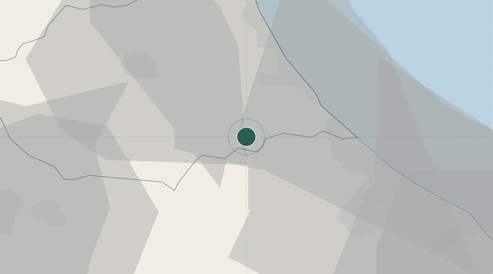
Hub Profile
Place type
District seat
Region
Abruzzo
Population
456
Time zone
Europe/Rome
Elevation
272 m
Location
Nearby Logistics Neighbours
Cities
- 1Castiglione Messer Raimondo3 km
- 2Atri7 km
- 3Cellino Attanasio7 km
- 4Casoli10 km
- 5Castelnuovo Vomano11 km
Ports
- 1Giulianova25 km
- 2Pescara27 km
- 3Ortona46 km
- 4San Benedetto Del Tronto48 km
- 5Vasto80 km
Airports
- 1Abruzzo Airport25 km
- 2Guidonia Air Base114 km
- 3Marche Airport129 km
- 4Perugia San Francesco d'Assisi – Umbria International Airport131 km
- 5Rome Urbe Airport133 km
Trade Zones
DatabookThe Record of Consolidated Knowledge
Italy beyond logistics?