Transport Functions
Multimodal
Hub Profile
Place type
District seat
Region
Abruzzo
Population
5,854
Time zone
Europe/Rome
Elevation
444 m
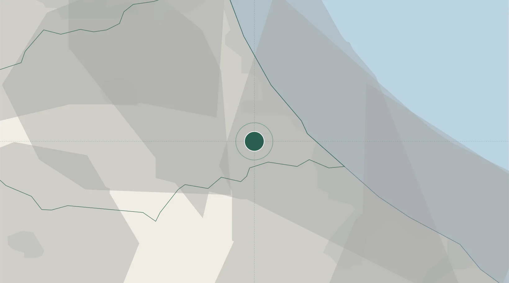
Location
Nearby Logistics Neighbours
Cities
- 1Casoli4 km
- 2Castilenti7 km
- 3Cellino Attanasio8 km
- 4Castiglione Messer Raimondo9 km
- 5Silvi Marina10 km
Ports
- 1Giulianova19 km
- 2Pescara26 km
- 3San Benedetto Del Tronto42 km
- 4Ortona45 km
- 5Vasto81 km
Airports
- 1Abruzzo Airport25 km
- 2Guidonia Air Base121 km
- 3Marche Airport125 km
- 4Perugia San Francesco d'Assisi – Umbria International Airport132 km
- 5San Domino Island Heliport136 km
Trade Zones
DatabookThe Record of Consolidated Knowledge
Italy beyond logistics?