Transport Functions
Rail
Road
Hub Profile
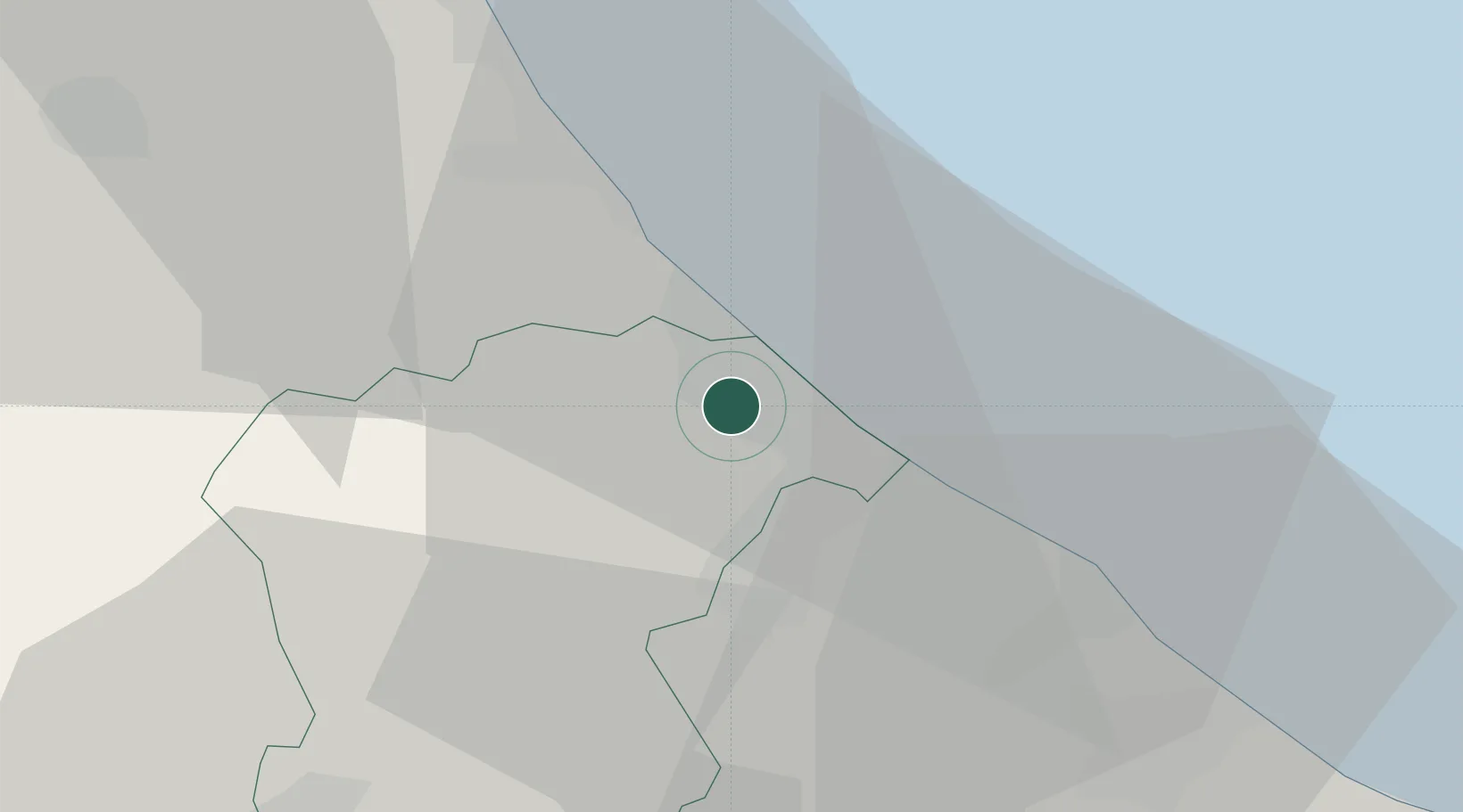
Region
PE
Location
Nearby Logistics Neighbours
Cities
- 1Città Sant'Angelo8 km
- 2Pescara8 km
- 3Silvi Marina10 km
- 4Villanova13 km
- 5Francavilla al Mare14 km
Ports
- 1Pescara9 km
- 2Ortona28 km
- 3Giulianova33 km
- 4San Benedetto Del Tronto57 km
- 5Vasto63 km
Airports
- 1Abruzzo Airport7 km
- 2San Domino Island Heliport119 km
- 3Guidonia Air Base127 km
- 4Marche Airport141 km
- 5Latina Air Base146 km
Trade Zones
DatabookThe Record of Consolidated Knowledge
Italy beyond logistics?