Transport Functions
Multimodal
Hub Profile
Place type
District seat
Region
Tuscany
Population
12,602
Time zone
Europe/Rome
Elevation
96 m
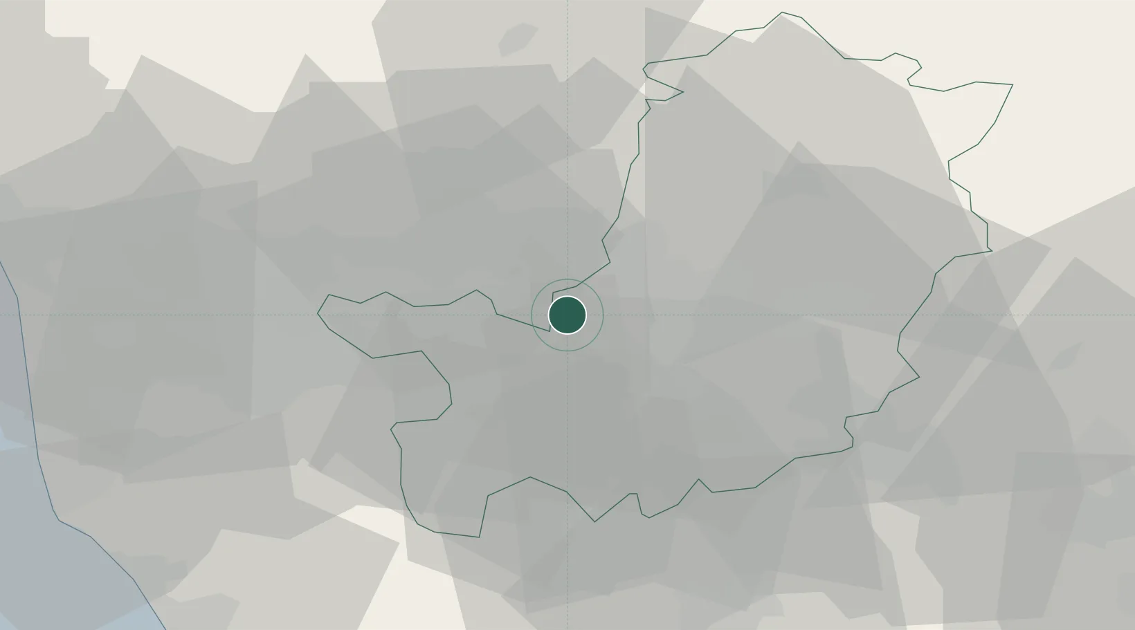
Location
Nearby Logistics Neighbours
Cities
- 1Poggio a Caiano5 km
- 2Badia a Settimo5 km
- 3San Giorgio a Colonica6 km
- 4Peretola9 km
- 5Vinci12 km
Ports
- 1Viareggio69 km
- 2Livorno69 km
- 3Vada70 km
- 4Marina Di Carrara87 km
- 5Portovecchio Di Piombino104 km
Airports
Trade Zones
DatabookThe Record of Consolidated Knowledge
Italy beyond logistics?