UN/LOCODE hub · Italy
ITXCT

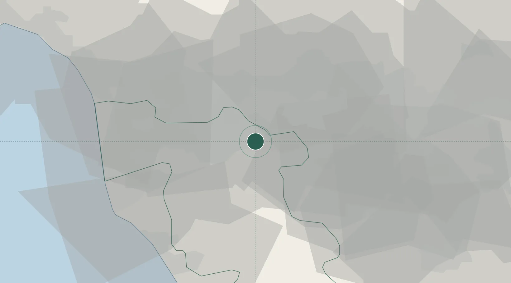
Castelfranco di Sotto

43.7000°, 10.7500°
8,291
Population
1
Transport functions

Transport Functions

Rail
UN/LOCODE

Hub Profile

Place type
District seat
GeoNames
Region
Tuscany
GeoNames
Population
8,291
GeoNames
Time zone
Europe/Rome
GeoNames
Elevation
16 m
GeoNames

Location

Location of ITXCT
Natural Earth 10m (public domain) · Tuscany · ITXCT · 43.70, 10.75GoogleOSMYandex

Nearby Logistics Neighbours

Cities
  1. 1Montopoli in Val d'Arno4 km
  2. 2Calcinaia11 km
  3. 3Pontedera11 km
  4. 4Cerreto Guidi12 km
  5. 5Ponte a Elsa12 km
Nearest neighbours — logibook spatial index (haversine) over the source coordinates
Ports
  1. 1Livorno41 km
  2. 2Viareggio45 km
  3. 3Vada46 km
  4. 4Marina Di Carrara67 km
  5. 5La Spezia86 km
Nearest neighbours — logibook spatial index (haversine) over the source coordinates
Airports
  1. 1Pisa International Airport29 km
  2. 2Florence Airport, Peretola38 km
  3. 3Siena-Ampugnano Airport64 km
  4. 4Sarzana-Luni Air Base75 km
  5. 5Bologna Guglielmo Marconi Airport102 km
Nearest neighbours — logibook spatial index (haversine) over the source coordinates
Trade Zones
  1. 1Consorzio Zona Industriale e Porto Fluviale di Padova210 km
  2. 2Free Port of Venice229 km
  3. 3Abruzzo Special Economic Zone263 km
  4. 4Port of Pula Free Zone278 km
  5. 5Magazzini Generali Con Chiasso278 km
Nearest neighbours — logibook spatial index (haversine) over the source coordinates
DatabookThe Record of Consolidated Knowledge
Italy beyond logistics?
Browse databook

All Sources

LocationsUN/LOCODE
UN/LOCODE — free
LocationsGeoNames
CC BY 4.0
Portsthe NGA World Port Index
Public domain (US gov)
AirportsOurAirports
Public domain
Trade Zonesthe World Bank SEZ database
CC BY 4.0
Trade ZonesOpen Zone Map
CC BY
← Italy locations