Transport Functions
Road
Multimodal
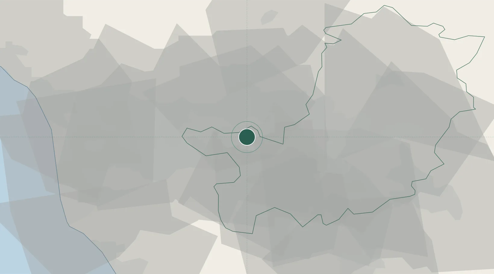
Hub Profile
Place type
District seat
Region
Tuscany
Population
1,519
Time zone
Europe/Rome
Elevation
97 m
Location
Nearby Logistics Neighbours
Cities
- 1Cerreto Guidi6 km
- 2Casalguidi10 km
- 3Poggio a Caiano10 km
- 4Ponte a Elsa11 km
- 5Signa12 km
Ports
- 1Viareggio57 km
- 2Livorno58 km
- 3Vada62 km
- 4Marina Di Carrara76 km
- 5La Spezia95 km
Airports
Trade Zones
DatabookThe Record of Consolidated Knowledge
Italy beyond logistics?