UN/LOCODE hub · Italy
ITZOK

Montopoli in Val d'Arno

43.6667°, 10.7500°
3
Transport functions

Transport Functions

Rail
Road
Multimodal
UN/LOCODE

Hub Profile

Region
PI
GeoNames

Location

Location of ITZOK
Natural Earth 10m (public domain) · PI · ITZOK · 43.67, 10.75GoogleOSMYandex

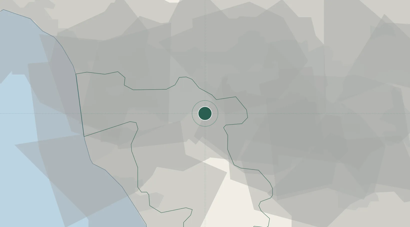
Nearby Logistics Neighbours

Cities
  1. 1Castelfranco di Sotto4 km
  2. 2Pontedera10 km
  3. 3Calcinaia11 km
  4. 4Ponte a Elsa12 km
  5. 5Peccioli13 km
Nearest neighbours — logibook spatial index (haversine) over the source coordinates
Ports
  1. 1Livorno40 km
  2. 2Vada43 km
  3. 3Viareggio47 km
  4. 4Marina Di Carrara69 km
  5. 5Portovecchio Di Piombino83 km
Nearest neighbours — logibook spatial index (haversine) over the source coordinates
Airports
  1. 1Pisa International Airport29 km
  2. 2Florence Airport, Peretola40 km
  3. 3Siena-Ampugnano Airport61 km
  4. 4Sarzana-Luni Air Base77 km
  5. 5Grosseto Corrado Baccarini Air Base / Grosseto Airport104 km
Nearest neighbours — logibook spatial index (haversine) over the source coordinates
Trade Zones
  1. 1Consorzio Zona Industriale e Porto Fluviale di Padova213 km
  2. 2Free Port of Venice232 km
  3. 3Abruzzo Special Economic Zone261 km
  4. 4ZFU LAriane279 km
  5. 5Port of Pula Free Zone279 km
Nearest neighbours — logibook spatial index (haversine) over the source coordinates
DatabookThe Record of Consolidated Knowledge
Italy beyond logistics?
Browse databook

All Sources

LocationsUN/LOCODE
UN/LOCODE — free
Portsthe NGA World Port Index
Public domain (US gov)
AirportsOurAirports
Public domain
Trade Zonesthe World Bank SEZ database
CC BY 4.0
Trade ZonesOpen Zone Map
CC BY
← Italy locations