Transport Functions
Multimodal
Hub Profile
Region
AR
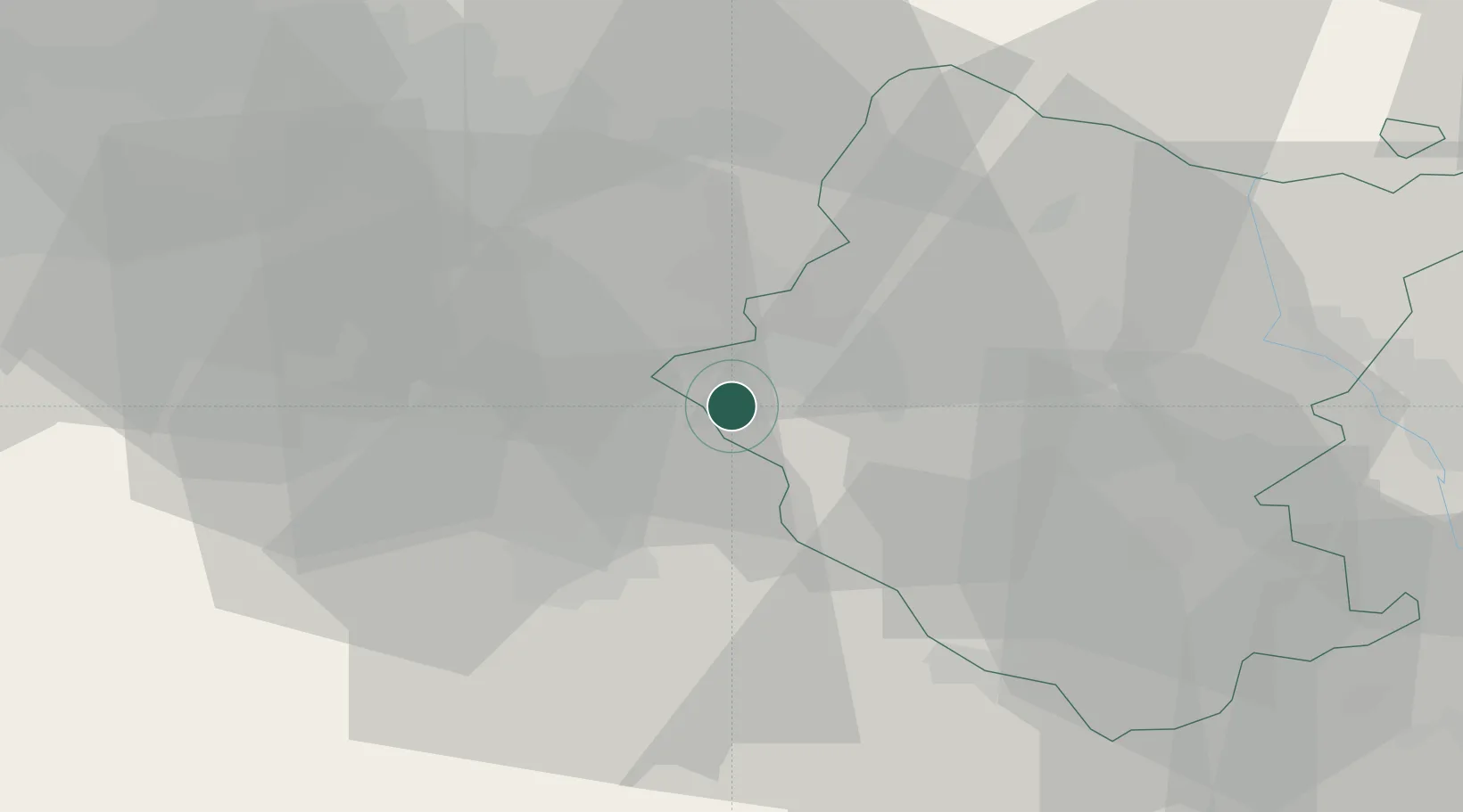
Location
Nearby Logistics Neighbours
Cities
- 1San Giustino Valdarno6 km
- 2Bucine11 km
- 3Incisa In Val d'Arno17 km
- 4Ambra18 km
- 5Reggello19 km
Ports
- 1Vada86 km
- 2Livorno96 km
- 3Portovecchio Di Piombino99 km
- 4Cesenatico107 km
- 5Viareggio108 km
Airports
Trade Zones
DatabookThe Record of Consolidated Knowledge
Italy beyond logistics?