Transport Functions
Multimodal
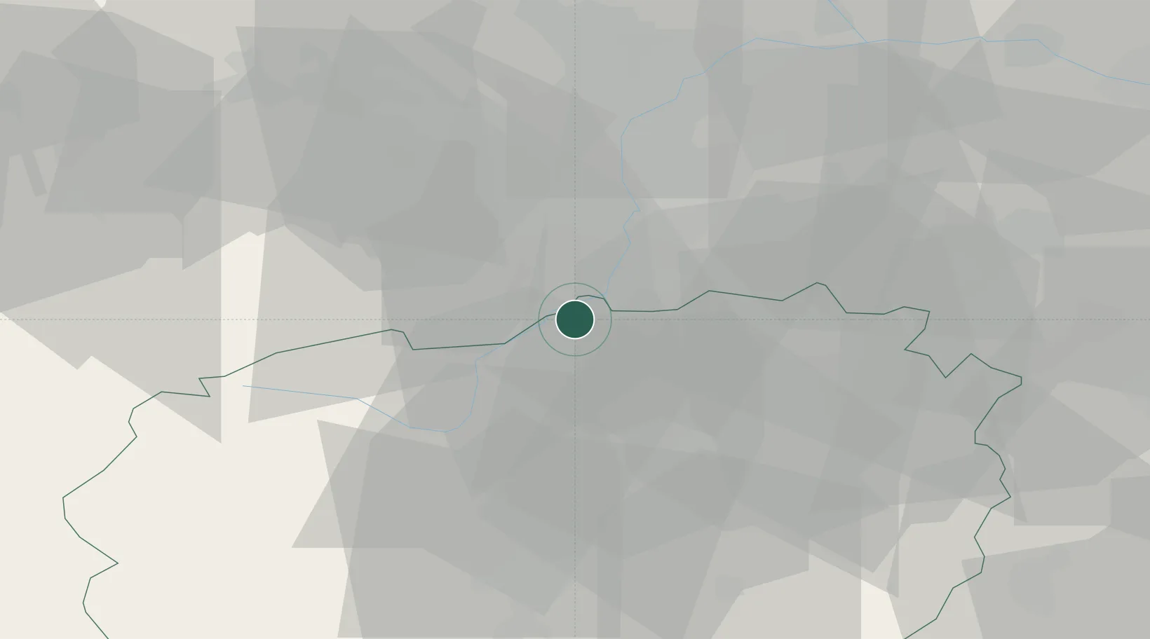
Hub Profile
Place type
District seat
Region
Piedmont
Population
1,128
Time zone
Europe/Rome
Elevation
245 m
Location
Nearby Logistics Neighbours
Cities
- 1Moretta6 km
- 2Luserna San Giovanni7 km
- 3Ruffia11 km
- 4Castagnole Piemonte11 km
- 5Scalenghe13 km
Ports
- 1Savona89 km
- 2Rada Di Vado90 km
- 3Imperia108 km
- 4San Remo110 km
- 5Genova114 km
Airports
Trade Zones
- 1ZFU LAriane120 km
- 2Aosta Valley120 km
- 3Magazzini Generali Con Chiasso157 km
- 4ZFU Grenoble157 km
- 5Geneva Freeport, La Praille, Geneva192 km
DatabookThe Record of Consolidated Knowledge
Italy beyond logistics?