Transport Functions
Road
Multimodal
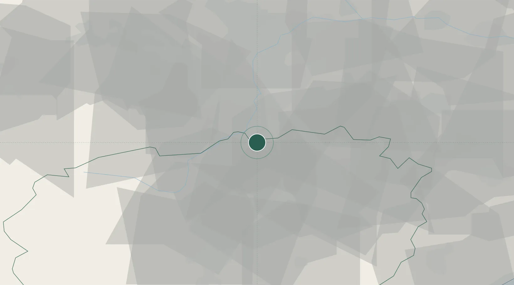
Location
Nearby Logistics Neighbours
Cities
- 1Polonghera7 km
- 2Moretta12 km
- 3Ruffia13 km
- 4Castagnole Piemonte14 km
- 5La Loggia17 km
Ports
- 1Savona84 km
- 2Rada Di Vado85 km
- 3Imperia106 km
- 4Genova108 km
- 5San Remo110 km
Airports
Trade Zones
- 1ZFU LAriane121 km
- 2Aosta Valley124 km
- 3Magazzini Generali Con Chiasso153 km
- 4ZFU Grenoble163 km
- 5Geneva Freeport, La Praille, Geneva196 km
DatabookThe Record of Consolidated Knowledge
Italy beyond logistics?