Transport Functions
Multimodal
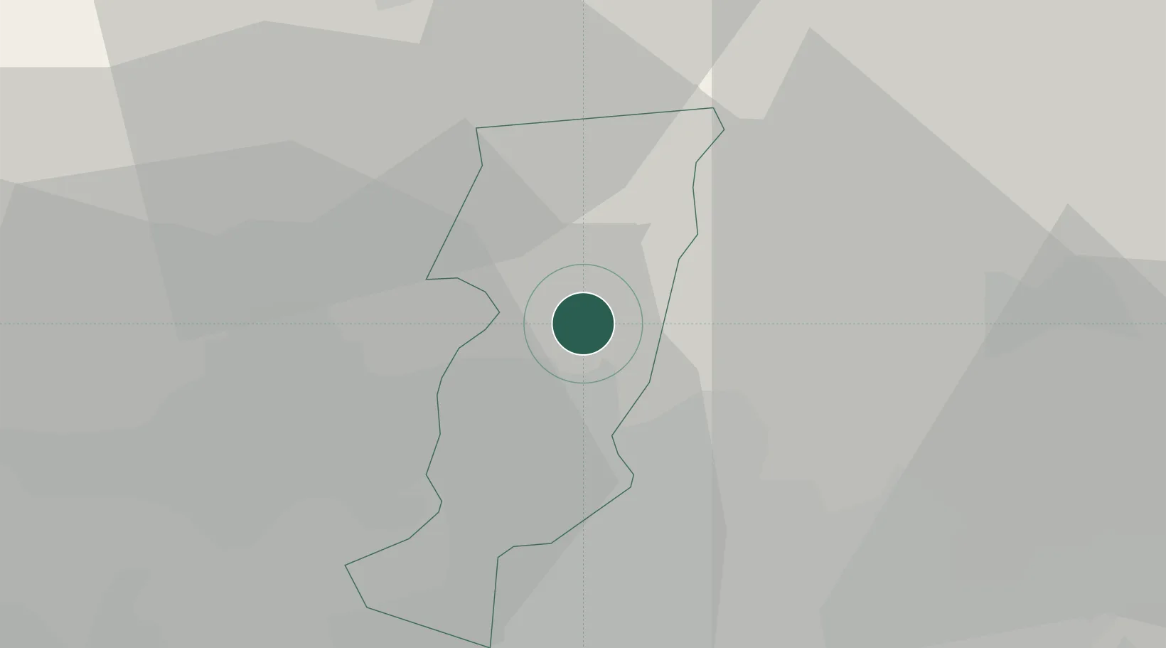
Hub Profile
Place type
District seat
Region
Tuscany
Population
8,243
Time zone
Europe/Rome
Elevation
150 m
Location
Nearby Logistics Neighbours
Cities
- 1Montemurlo8 km
- 2Montale9 km
- 3San Giorgio a Colonica15 km
- 4Poggio a Caiano18 km
- 5Castiglione dei Pepoli19 km
Ports
- 1Viareggio72 km
- 2Livorno82 km
- 3Marina Di Carrara86 km
- 4Vada87 km
- 5La Spezia104 km
Airports
Trade Zones
DatabookThe Record of Consolidated Knowledge
Italy beyond logistics?