Transport Functions
Rail
Road
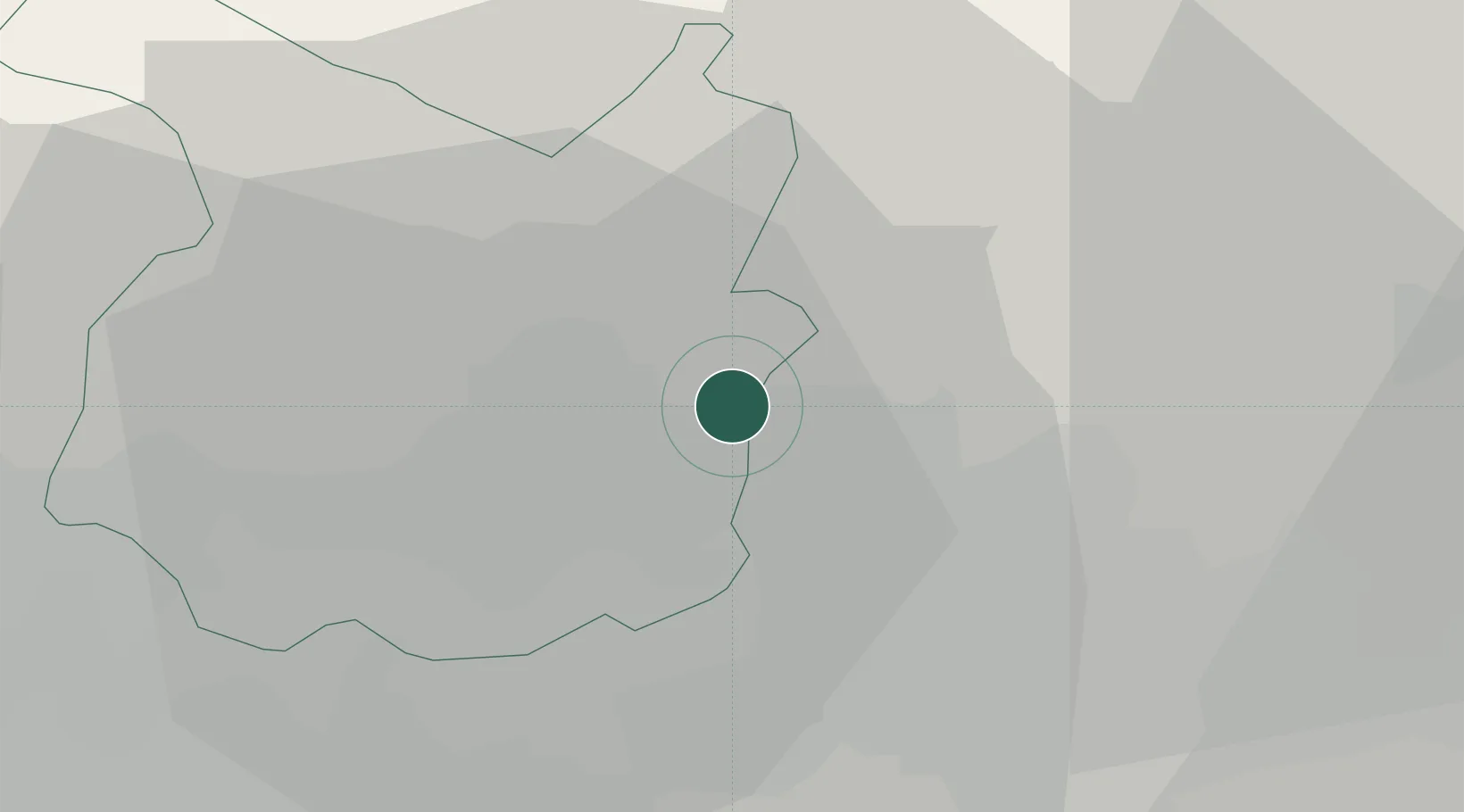
Hub Profile
Place type
District seat
Region
Tuscany
Population
6,316
Time zone
Europe/Rome
Elevation
85 m
Location
Nearby Logistics Neighbours
Cities
- 1Montemurlo3 km
- 2Vaiano9 km
- 3Casalguidi12 km
- 4San Giorgio a Colonica13 km
- 5Poggio a Caiano13 km
Ports
- 1Viareggio63 km
- 2Livorno73 km
- 3Marina Di Carrara78 km
- 4Vada79 km
- 5La Spezia96 km
Airports
Trade Zones
DatabookThe Record of Consolidated Knowledge
Italy beyond logistics?