Transport Functions
Rail
Road
Postal
Hub Profile
Place type
District seat
Region
Tuscany
Population
7,863
Time zone
Europe/Rome
Elevation
42 m
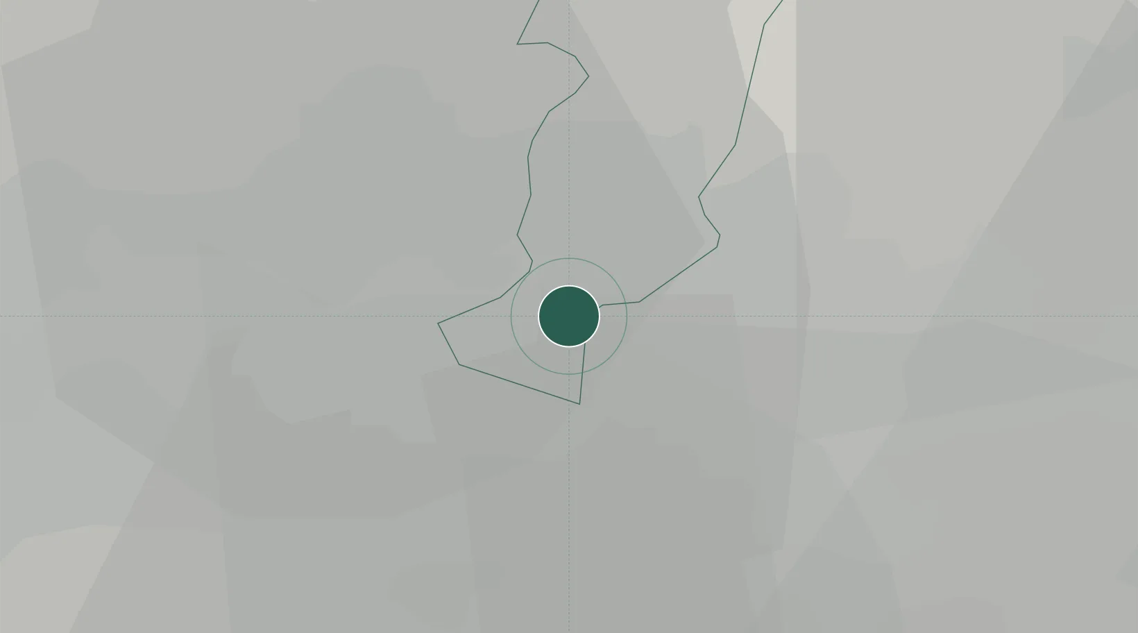
Location
Nearby Logistics Neighbours
Cities
- 1San Giorgio a Colonica4 km
- 2Signa5 km
- 3Badia a Settimo9 km
- 4Vinci10 km
- 5Montemurlo11 km
Ports
- 1Viareggio66 km
- 2Livorno68 km
- 3Vada71 km
- 4Marina Di Carrara84 km
- 5La Spezia102 km
Airports
Trade Zones
DatabookThe Record of Consolidated Knowledge
Italy beyond logistics?