UN/LOCODE hub · Italy
ITZHV

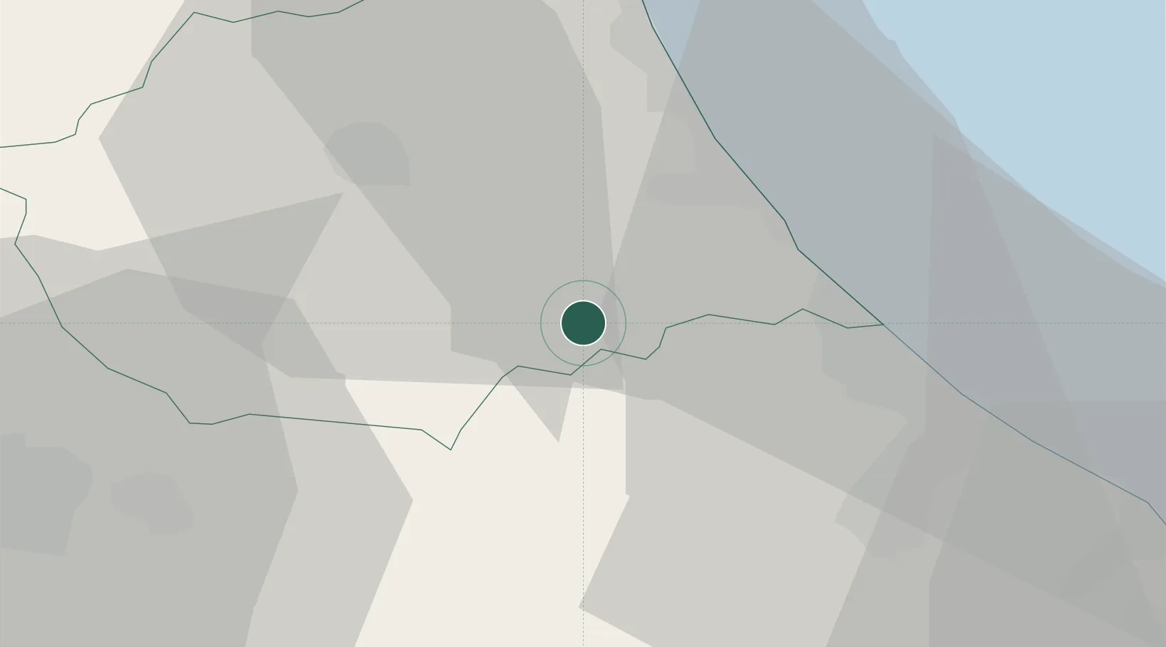
Castiglione Messer Raimondo

42.5333°, 13.8833°
436
Population
1
Transport functions

Transport Functions

Multimodal
UN/LOCODE

Hub Profile

Place type
District seat
GeoNames
Region
Abruzzo
GeoNames
Population
436
GeoNames
Time zone
Europe/Rome
GeoNames
Elevation
306 m
GeoNames

Location

Location of ITZHV
Natural Earth 10m (public domain) · Abruzzo · ITZHV · 42.53, 13.88GoogleOSMYandex

Nearby Logistics Neighbours

Cities
  1. 1Castilenti3 km
  2. 2Cellino Attanasio6 km
  3. 3Atri9 km
  4. 4Castelnuovo Vomano10 km
  5. 5Casoli12 km
Nearest neighbours — logibook spatial index (haversine) over the source coordinates
Ports
  1. 1Giulianova26 km
  2. 2Pescara30 km
  3. 3San Benedetto Del Tronto47 km
  4. 4Ortona48 km
  5. 5Vasto83 km
Nearest neighbours — logibook spatial index (haversine) over the source coordinates
Airports
  1. 1Abruzzo Airport27 km
  2. 2Guidonia Air Base112 km
  3. 3Marche Airport128 km
  4. 4Perugia San Francesco d'Assisi – Umbria International Airport128 km
  5. 5Rome Urbe Airport131 km
Nearest neighbours — logibook spatial index (haversine) over the source coordinates
Trade Zones
  1. 1Abruzzo Special Economic Zone52 km
  2. 2Ionian Special Economic Zone91 km
  3. 3Campania Special Economic Zone (Naples and Salerno)200 km
  4. 4Puglia (Apulia) Special Economic Zone Area222 km
  5. 5Port of Split Free Zone233 km
Nearest neighbours — logibook spatial index (haversine) over the source coordinates
DatabookThe Record of Consolidated Knowledge
Italy beyond logistics?
Browse databook

All Sources

LocationsUN/LOCODE
UN/LOCODE — free
LocationsGeoNames
CC BY 4.0
Portsthe NGA World Port Index
Public domain (US gov)
AirportsOurAirports
Public domain
Trade Zonesthe World Bank SEZ database
CC BY 4.0
Trade ZonesOpen Zone Map
CC BY
← Italy locations