UN/LOCODE hub · Italy
ITCA3

Cellino Attanasio

42.5833°, 13.8667°
605
Population
1
Transport functions

Transport Functions

Multimodal
UN/LOCODE

Hub Profile

Place type
District seat
GeoNames
Region
Abruzzo
GeoNames
Population
605
GeoNames
Time zone
Europe/Rome
GeoNames
Elevation
443 m
GeoNames

Location

Location of ITCA3
Natural Earth 10m (public domain) · Abruzzo · ITCA3 · 42.58, 13.87GoogleOSMYandex

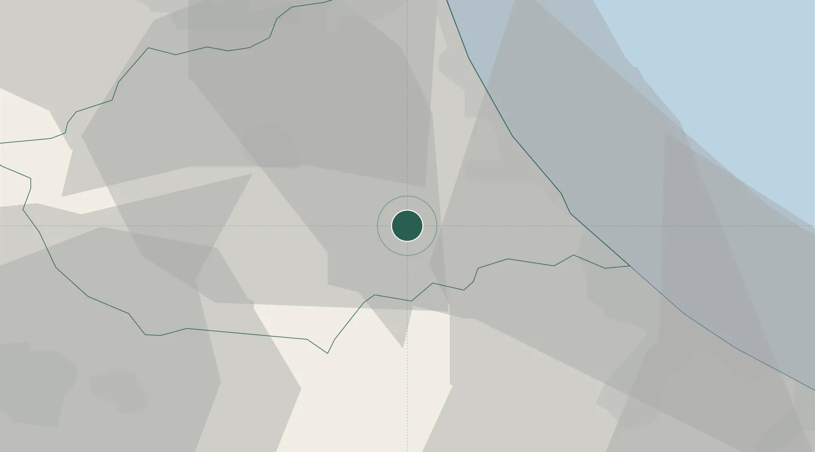
Nearby Logistics Neighbours

Cities
  1. 1Castelnuovo Vomano4 km
  2. 2Castiglione Messer Raimondo6 km
  3. 3Castilenti7 km
  4. 4Notaresco8 km
  5. 5Atri8 km
Nearest neighbours — logibook spatial index (haversine) over the source coordinates
Ports
  1. 1Giulianova21 km
  2. 2Pescara33 km
  3. 3San Benedetto Del Tronto42 km
  4. 4Ortona52 km
  5. 5Civitanova Marche82 km
Nearest neighbours — logibook spatial index (haversine) over the source coordinates
Airports
  1. 1Abruzzo Airport31 km
  2. 2Guidonia Air Base114 km
  3. 3Marche Airport122 km
  4. 4Perugia San Francesco d'Assisi – Umbria International Airport124 km
  5. 5Rome Urbe Airport132 km
Nearest neighbours — logibook spatial index (haversine) over the source coordinates
Trade Zones
  1. 1Abruzzo Special Economic Zone54 km
  2. 2Ionian Special Economic Zone97 km
  3. 3Campania Special Economic Zone (Naples and Salerno)205 km
  4. 4Puglia (Apulia) Special Economic Zone Area227 km
  5. 5Port of Split Free Zone232 km
Nearest neighbours — logibook spatial index (haversine) over the source coordinates
DatabookThe Record of Consolidated Knowledge
Italy beyond logistics?
Browse databook

All Sources

LocationsUN/LOCODE
UN/LOCODE — free
LocationsGeoNames
CC BY 4.0
Portsthe NGA World Port Index
Public domain (US gov)
AirportsOurAirports
Public domain
Trade Zonesthe World Bank SEZ database
CC BY 4.0
Trade ZonesOpen Zone Map
CC BY
← Italy locations