Transport Functions
Multimodal
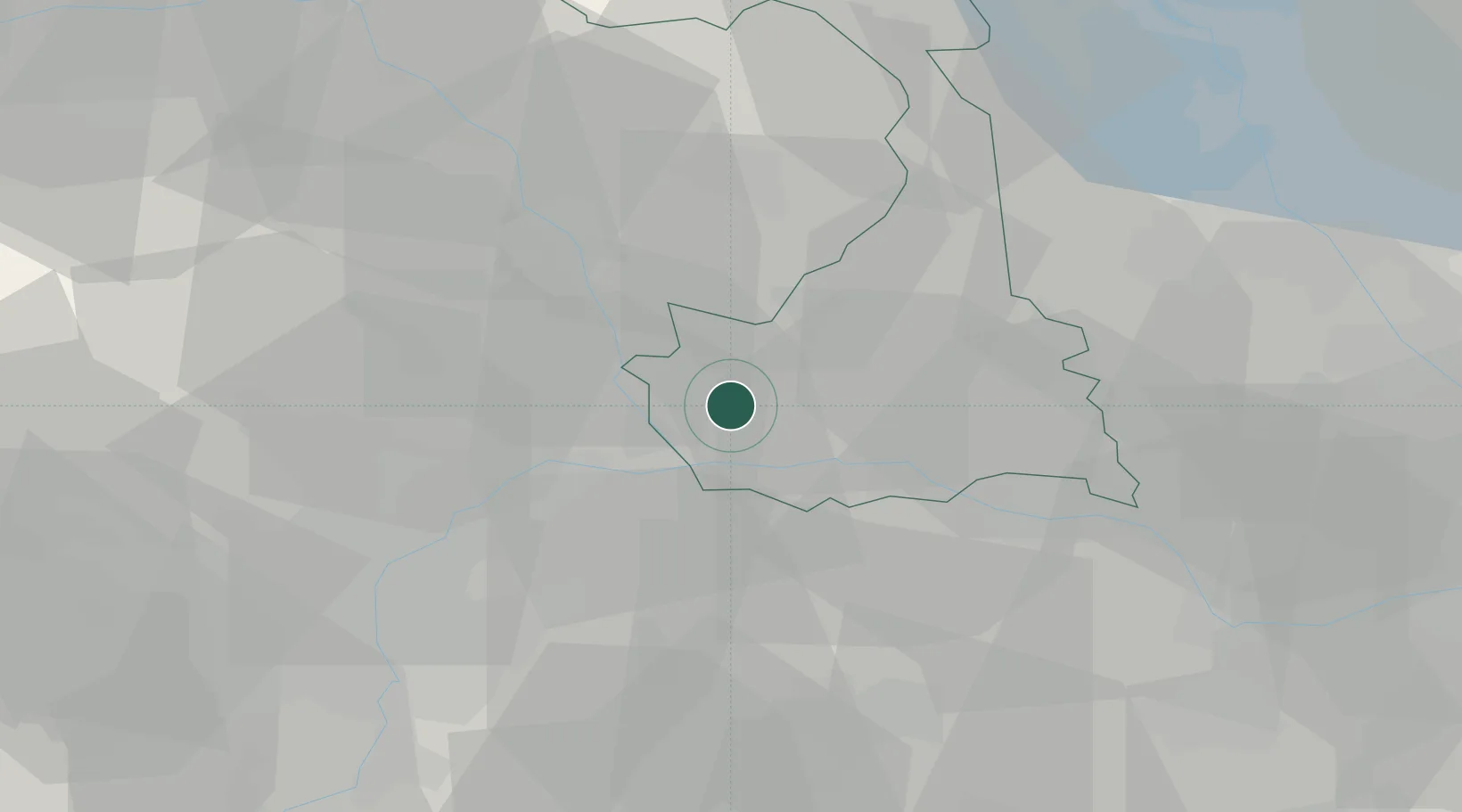
Hub Profile
Place type
District seat
Region
Piedmont
Population
3,919
Time zone
Europe/Rome
Elevation
188 m
Location
Nearby Logistics Neighbours
Cities
- 1Crescentino11 km
- 2Santhià11 km
- 3Azeglio16 km
- 4Tricerro19 km
- 5San Giorgio Canavese23 km
Ports
- 1Savona112 km
- 2Rada Di Vado117 km
- 3Genova119 km
- 4Chiavari - Lavagna147 km
- 5Imperia156 km
Airports
- 1Biella-Cerrione Airfield24 km
- 2Turin Airport35 km
- 3Torino-Aeritalia Airport44 km
- 4Cameri Air Base53 km
- 5Milan Malpensa International Airport63 km
Trade Zones
- 1Magazzini Generali Con Chiasso92 km
- 2Aosta Valley111 km
- 3Port Franc Vevey176 km
- 4Geneva Freeport, La Praille, Geneva182 km
- 5ZFU LAriane182 km
DatabookThe Record of Consolidated Knowledge
Italy beyond logistics?