Transport Functions
Multimodal
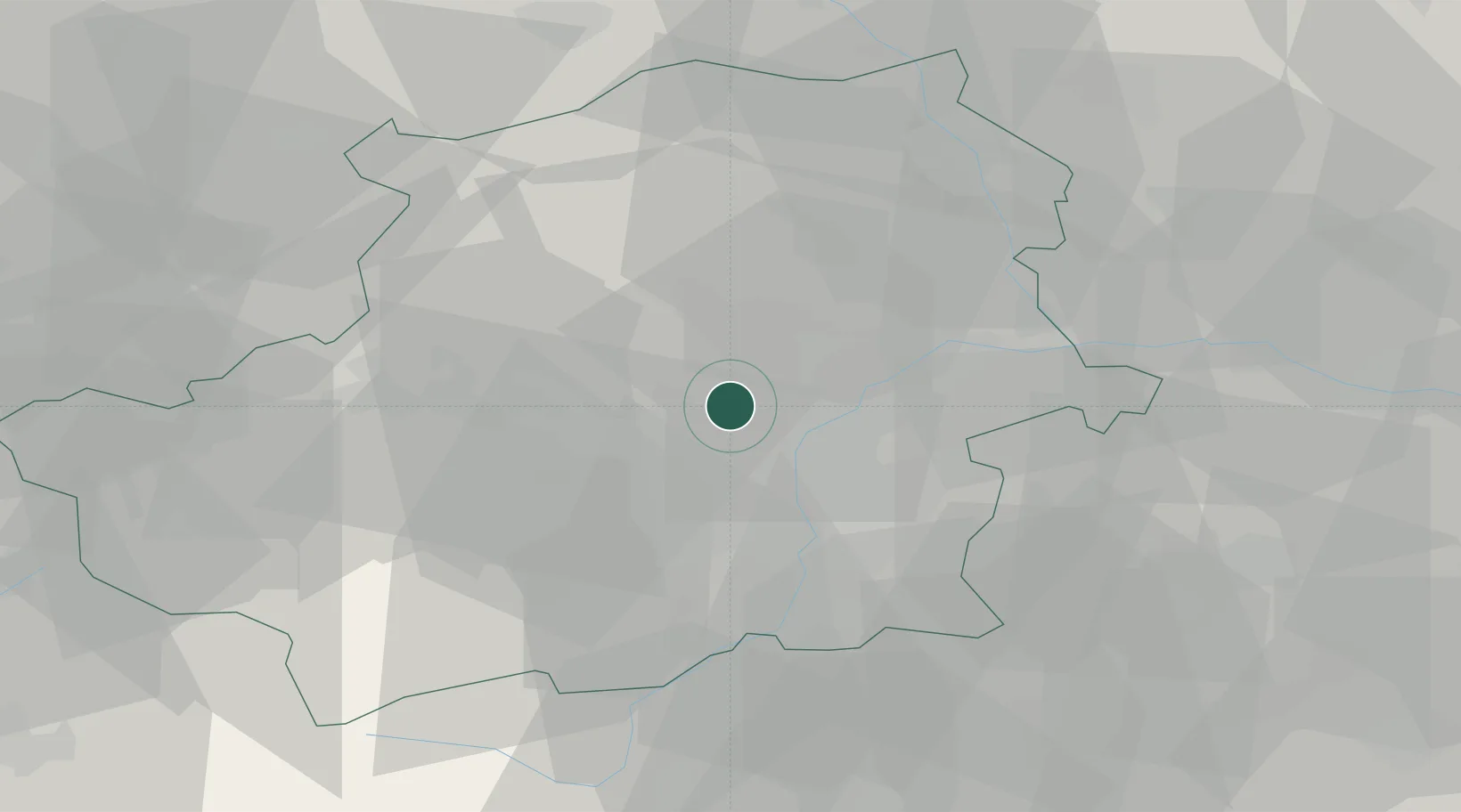
Hub Profile
Place type
District seat
Region
Piedmont
Population
8,232
Time zone
Europe/Rome
Elevation
285 m
Location
Nearby Logistics Neighbours
Cities
- 1Venaria Reale4 km
- 2Spineto11 km
- 3San Mauro Torinese15 km
- 4Almese16 km
- 5Avigliana17 km
Ports
- 1Savona116 km
- 2Rada Di Vado119 km
- 3Genova134 km
- 4Imperia144 km
- 5San Remo147 km
Airports
Trade Zones
- 1Aosta Valley89 km
- 2Magazzini Generali Con Chiasso133 km
- 3ZFU Grenoble149 km
- 4ZFU LAriane156 km
- 5Geneva Freeport, La Praille, Geneva163 km
DatabookThe Record of Consolidated Knowledge
Italy beyond logistics?