Transport Functions
Multimodal
Hub Profile
Region
TO
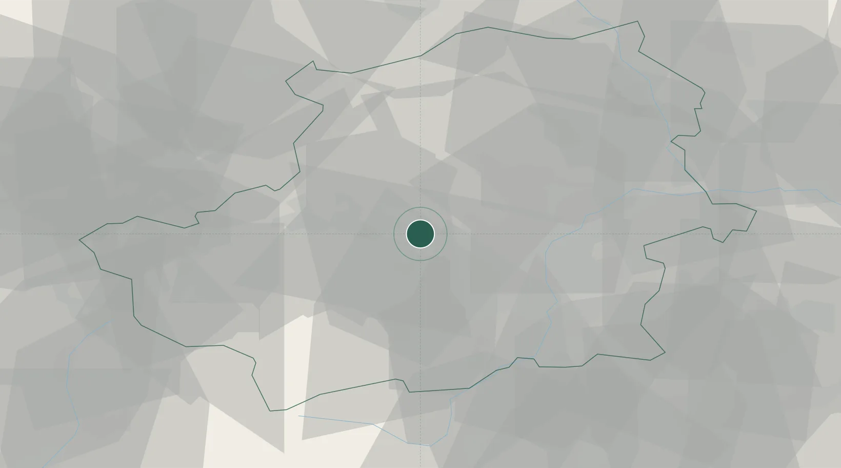
Location
Nearby Logistics Neighbours
Cities
- 1Avigliana4 km
- 2Druento16 km
- 3Piossasco16 km
- 4Pessinetto19 km
- 5Venaria Reale20 km
Ports
- 1Savona125 km
- 2Rada Di Vado127 km
- 3Genova145 km
- 4Imperia147 km
- 5San Remo148 km
Airports
- 1Torino-Aeritalia Airport18 km
- 2Turin Airport23 km
- 3Cuneo International Airport66 km
- 4Aosta Corrado Gex Airport69 km
- 5Biella-Cerrione Airfield70 km
Trade Zones
- 1Aosta Valley81 km
- 2ZFU Grenoble134 km
- 3Magazzini Generali Con Chiasso146 km
- 4ZFU LAriane153 km
- 5Geneva Freeport, La Praille, Geneva154 km
DatabookThe Record of Consolidated Knowledge
Italy beyond logistics?