Transport Functions
Multimodal
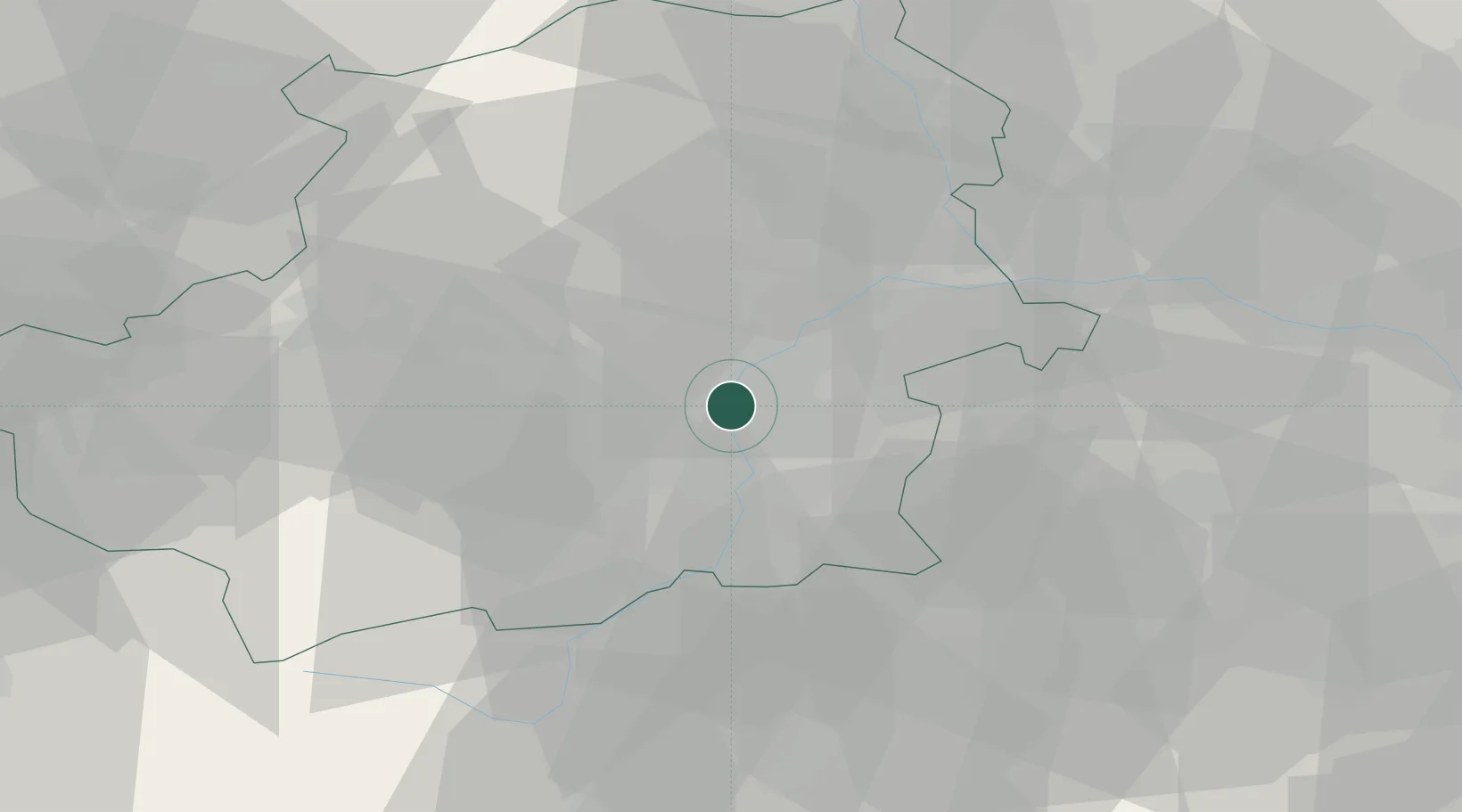
Hub Profile
Place type
Populated place
Region
The Marches
Population
18
Time zone
Europe/Rome
Elevation
308 m
Location
Nearby Logistics Neighbours
Cities
- 1Trofarello9 km
- 2San Mauro Torinese10 km
- 3Venaria Reale10 km
- 4La Loggia11 km
- 5Druento11 km
Ports
- 1Savona105 km
- 2Rada Di Vado107 km
- 3Genova123 km
- 4Imperia133 km
- 5San Remo137 km
Airports
- 1Torino-Aeritalia Airport6 km
- 2Turin Airport17 km
- 3Cuneo International Airport56 km
- 4Biella-Cerrione Airfield60 km
- 5Aosta Corrado Gex Airport80 km
Trade Zones
- 1Aosta Valley101 km
- 2Magazzini Generali Con Chiasso133 km
- 3ZFU LAriane148 km
- 4ZFU Grenoble157 km
- 5Geneva Freeport, La Praille, Geneva174 km
DatabookThe Record of Consolidated Knowledge
Italy beyond logistics?