UN/LOCODE hub · Italy
ITSGD

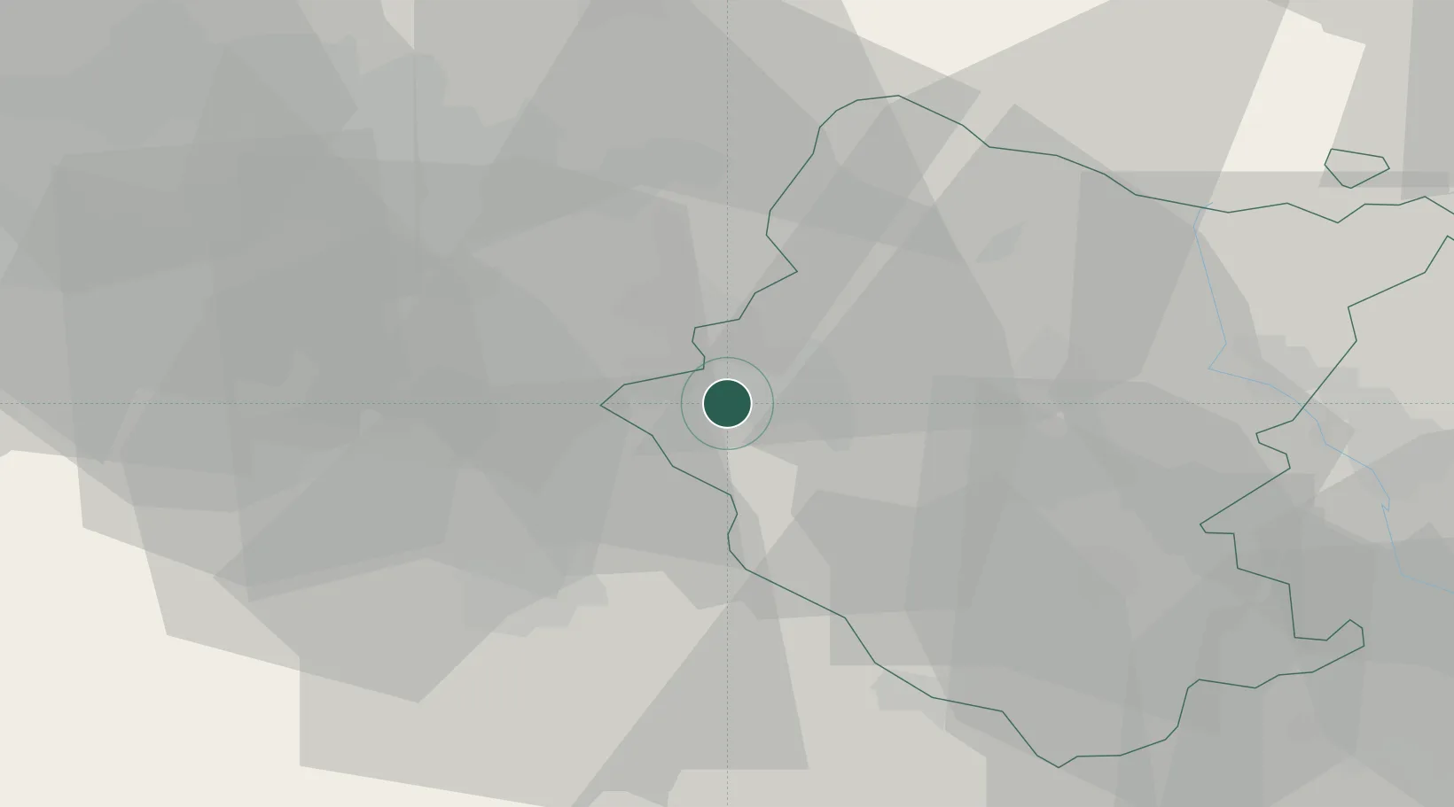
San Giustino Valdarno

43.5500°, 11.5333°
1,528
Population
2
Transport functions

Transport Functions

Rail
Road
UN/LOCODE

Hub Profile

Place type
Populated place
GeoNames
Region
Tuscany
GeoNames
Population
1,528
GeoNames
Time zone
Europe/Rome
GeoNames
Elevation
308 m
GeoNames

Location

Location of ITSGD
Natural Earth 10m (public domain) · Tuscany · ITSGD · 43.55, 11.53GoogleOSMYandex

Nearby Logistics Neighbours

Cities
  1. 1Cavriglia6 km
  2. 2Bucine10 km
  3. 3Incisa In Val d'Arno15 km
  4. 4Reggello15 km
  5. 5Ambra19 km
Nearest neighbours — logibook spatial index (haversine) over the source coordinates
Ports
  1. 1Vada90 km
  2. 2Livorno100 km
  3. 3Cesenatico101 km
  4. 4Rimini102 km
  5. 5Portovecchio Di Piombino105 km
Nearest neighbours — logibook spatial index (haversine) over the source coordinates
Airports
  1. 1Florence Airport, Peretola39 km
  2. 2Siena-Ampugnano Airport40 km
  3. 3Forlì-Luigi Ridolfi International Airport84 km
  4. 4Pisa International Airport93 km
  5. 5Perugia San Francesco d'Assisi – Umbria International Airport94 km
Nearest neighbours — logibook spatial index (haversine) over the source coordinates
Trade Zones
  1. 1Abruzzo Special Economic Zone203 km
  2. 2Consorzio Zona Industriale e Porto Fluviale di Padova207 km
  3. 3Free Port of Venice218 km
  4. 4Port of Pula Free Zone234 km
  5. 5Port of Rijeka Free Zone284 km
Nearest neighbours — logibook spatial index (haversine) over the source coordinates
DatabookThe Record of Consolidated Knowledge
Italy beyond logistics?
Browse databook

All Sources

LocationsUN/LOCODE
UN/LOCODE — free
LocationsGeoNames
CC BY 4.0
Portsthe NGA World Port Index
Public domain (US gov)
AirportsOurAirports
Public domain
Trade Zonesthe World Bank SEZ database
CC BY 4.0
Trade ZonesOpen Zone Map
CC BY
← Italy locations