Transport Functions
Multimodal
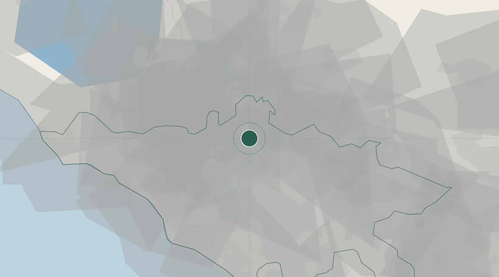
Hub Profile
Place type
District seat
Region
Lazio
Population
5,542
Time zone
Europe/Rome
Elevation
160 m
Location
Nearby Logistics Neighbours
Cities
- 1Riano5 km
- 2Rignano Flaminio9 km
- 3Nepi19 km
- 4Castel Sant'Elia19 km
- 5Anguillara Sabazia23 km
Ports
- 1Fiumicino48 km
- 2Civitavecchia63 km
- 3Anzio - Nettuno77 km
- 4San Felice Circeo111 km
- 5Terracina112 km
Airports
DatabookThe Record of Consolidated Knowledge
Italy beyond logistics?